
Adjuntas barrio-pueblo, historical center and municipality seat of Adjuntas, Puerto Rico
Location: Adjuntas
Elevation above the sea: 492 m
GPS coordinates: 18.16281,-66.72331
Latest update: May 9, 2025 02:06

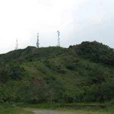
Cerro de Punta
14 km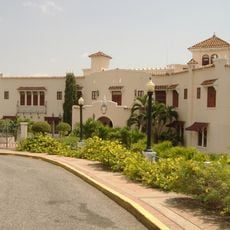
Castillo Serrallés
19.5 km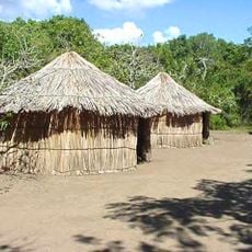
Tibes Indigenous Ceremonial Center
17.2 km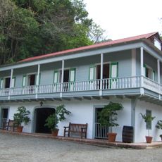
Hacienda Buena Vista
11.4 km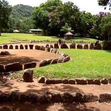
Caguana Indigenous Ceremonial Center
16.2 km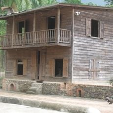
Hacienda Lealtad
18.7 km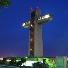
Cruceta del Vigía
19.4 km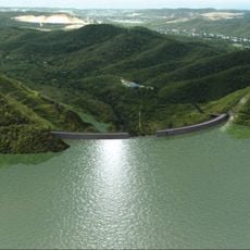
Portugués Dam
14.7 km
Museo Castillo Serrallés
19.5 km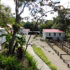
Museo Hacienda Buena Vista
11.4 km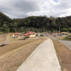
Luis A. Wito Morales Park
18.5 km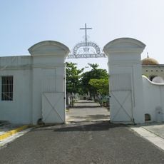
San Vicente de Paul Catholic Cemetery
18.8 km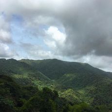
Monte Jayuya
15.6 km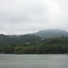
Monte Guilarte
5.4 km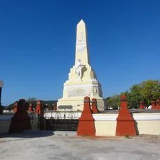
Monumento a los heroes de El Polvorín (tomb)
19.2 km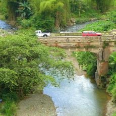
Las Cabañas Bridge
2.3 km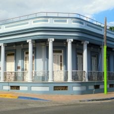
Casa Franceschi Antongiorgi
19.4 km
Casa Nemesio Canales
18 km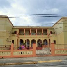
Daniel Webster School
12.1 km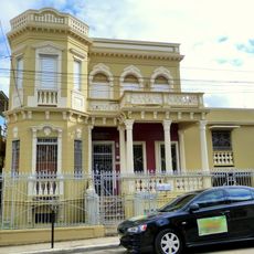
Chalet Amill
19.3 km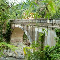
Blanco Bridge
7.5 km
Agostini House
19.4 km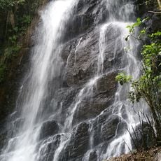
La Soplaera Waterfall
7.6 km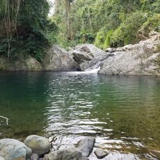
Mangó Waterfall
7 km
Museo De Nuestros Martires
18.4 km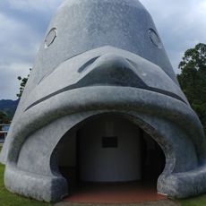
Cemis of Taino Culture Statue Museos Casa Canales y El Cemi
17.9 km
Parque de Niño
723 m
Playa de Guayanilla
18.2 kmReviews
Visited this place? Tap the stars to rate it and share your experience / photos with the community! Try now! You can cancel it anytime.
Discover hidden gems everywhere you go!
From secret cafés to breathtaking viewpoints, skip the crowded tourist spots and find places that match your style. Our app makes it easy with voice search, smart filtering, route optimization, and insider tips from travelers worldwide. Download now for the complete mobile experience.

A unique approach to discovering new places❞
— Le Figaro
All the places worth exploring❞
— France Info
A tailor-made excursion in just a few clicks❞
— 20 Minutes