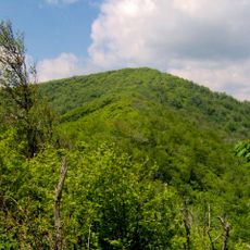
Laurel Falls Trail, Hiking trail in Great Smoky Mountains National Park, Tennessee, US.
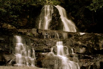
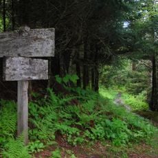
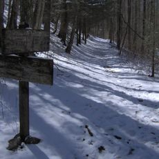
Laurel Falls Trail is a hiking route in Great Smoky Mountains National Park in Tennessee that spans 2.6 miles on paved ground through dense forests. The route leads to an 80-foot waterfall divided into upper and lower sections, with a walkway crossing between the two parts.
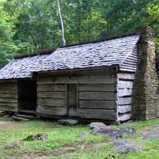
The route was built in 1932 by the Department of Interior to give fire crews access to Cove Mountain. A fire tower was added in 1935 as part of early fire management infrastructure in the region.
The trail draws visitors who photograph the changing seasons and connect with the landscape throughout the year. People use this place to experience and share the natural beauty found here.
The route is open year-round and the paved surface makes it easy to walk for most visitors. The nearest restroom facilities and visitor center are located at Sugarlands, so it makes sense to stop there first.
What makes this route special is the paved walkway that crosses directly between the two waterfall sections. From that point, visitors can see the water from an angle that few other hiking trails in the area offer.
The community of curious travelers
AroundUs brings together thousands of curated places, local tips, and hidden gems, enriched daily by 60,000 contributors worldwide.