Silers Bald, Mountain summit in Great Smoky Mountains National Park, Tennessee, US
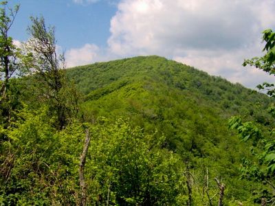
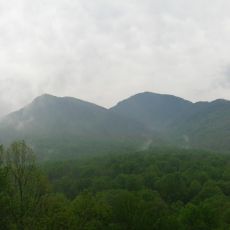
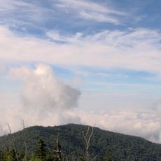
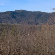
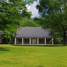
Silers Bald is a mountain summit in the Great Smoky Mountains, sitting on the ridge that marks the border between Tennessee and North Carolina. The top opens into grassy clearings broken up by patches of young trees, giving the ridgeline an open, airy feel.
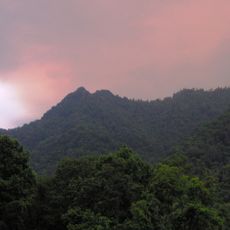
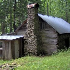
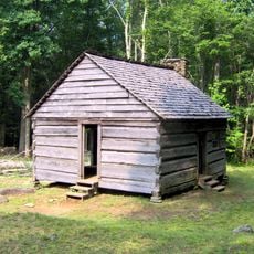
In the 19th century, Jesse Siler, a North Carolina farmer, grazed sheep and cattle on this summit, which is how the peak got its name. When the land was set aside as a national park in the early 20th century, farming on the ridge came to an end.
The summit holds traces of pastoral heritage visible in the open meadows surrounded by young forest, marking where people once farmed the land before it became protected. This mixed landscape reveals how the mountain transitioned from farmland to wilderness.
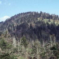
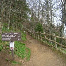
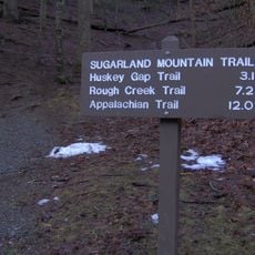
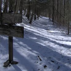
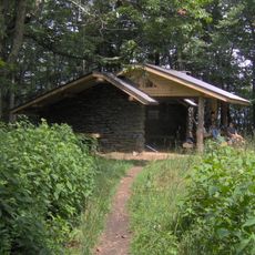
The summit is reached by a round trip of about 9 miles (15 km) starting from the Forney Ridge Trailhead, following the Appalachian Trail through dense forest. Clear days are the best time to go, as the ridge is often wrapped in cloud.
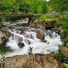
The entire ridge rests on Thunderhead sandstone, a rock formed from ocean sediments laid down about one billion years ago, long before this part of the world was dry land. This makes the ground beneath the park one of the oldest exposed rock formations in the eastern US.
The community of curious travelers
AroundUs brings together thousands of curated places, local tips, and hidden gems, enriched daily by 60,000 contributors worldwide.