Mount Collins, Mountain summit in Great Smoky Mountains, North Carolina, US.
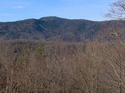
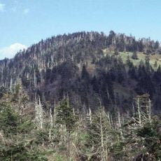
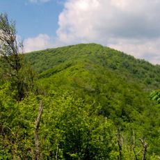
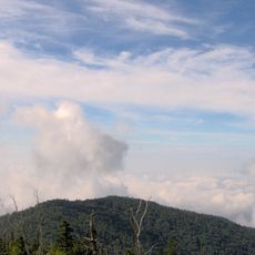
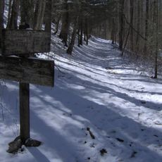
Mount Collins is a mountain summit in the Great Smoky Mountains that rises to about 6,188 feet and is covered with dense forests of spruce and fir trees. The northeastern slopes present hikers with a forested landscape that shapes access to the peak and surrounding trails.
The peak took its name from Robert Collins, who guided scientist Arnold Guyot during elevation surveys throughout the Smokies in 1859. These early expeditions were crucial to mapping and understanding the mountain range.
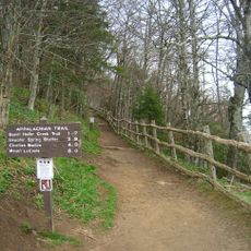
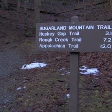
The Appalachian Trail crosses this summit and links multiple pathways used by long-distance hikers exploring the Eastern mountain regions. The location serves as a significant waypoint for travelers crossing the ridge system.
The summit is accessible via the Fork Ridge Trail from Clingmans Dome Road, with the best hiking conditions occurring between May and October. The route demands good equipment and awareness of changing mountain weather patterns.
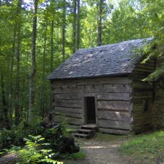
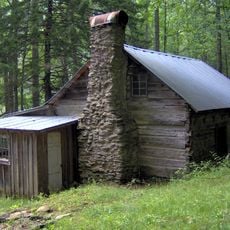
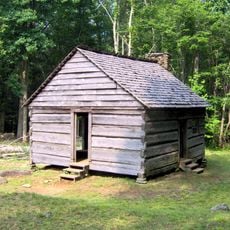
A shelter sits about half a mile north of where the Appalachian Trail meets the summit ridge and accommodates roughly a dozen backpackers overnight. This facility plays an important role for long-distance hikers crossing the entire Appalachian Trail.
The community of curious travelers
AroundUs brings together thousands of curated places, local tips, and hidden gems, enriched daily by 60,000 contributors worldwide.