Enable Location

We need your location to show you interesting places around you

Discover nearby places

Find interesting locations and hidden gems around you

Precise directions

Get accurate directions and distances to places

Your location is never shared with other users. It's only used when you tap the location button.

Memphis Parkway System

Log in to your account

Start exploring — it's free

Trusted by 61,907 travelers worldwide

Continue with Google
Continue with Apple
or

We will send you a code to connect

By continuing, you accept our Terms and Conditions and our Privacy Policy

Check your inbox

We've sent a pincode in your inbox. Please enter the code below.

Memphis Parkway System

Memphis Parkway System, Urban parkway network in Memphis, United States.

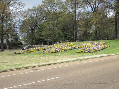
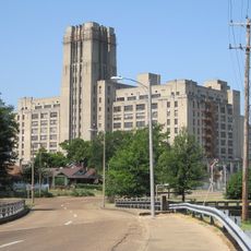
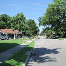
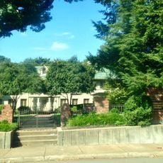
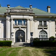
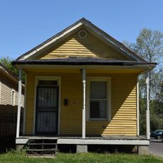
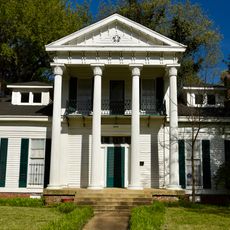
The Memphis Parkway System is a network of roads that frames the city in a rectangular shape, connecting South Parkway, East Parkway, and North Parkway through different neighborhoods. These broad routes link parks and public spaces while serving as main thoroughfares around the urban area.

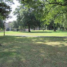
The system was created between 1904 and 1906 as a response to the yellow fever outbreaks of the 1870s that shaped Memphis development. The planning reflected a vision to weave green space into the city to improve public health and living conditions.

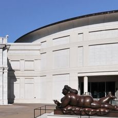
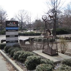
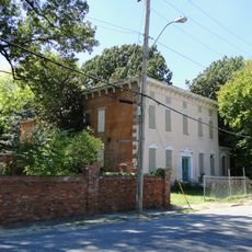
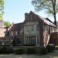
The parkway network links important institutions including the Memphis Zoo, Rhodes College, St. Jude Children's Research Hospital, and the Memphis Brooks Museum of Art.

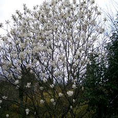
The road is well-maintained with divided lanes featuring tree-lined medians and planted flowers throughout. You can explore the route on foot or by car, and the moderate traffic pace makes it easy to move between different sections and neighborhoods.

The original design of North Parkway included racing sections planned by landscape architect George Kessler. These sections were removed in 1910 due to safety concerns and converted to regular roadways.

The community of curious travelers

AroundUs brings together thousands of curated places, local tips, and hidden gems, enriched daily by 60,000 contributors worldwide.

Start exploring
Location
GPS coordinates
35.13610,-89.98347
Latest update
December 12, 2025 09:06
Around this place
Show the full map
« Memphis Parkway System - Urban parkway network in Memphis, United States » is provided by Around Us (aroundus.com). Images and texts are derived from Wikimedia project under a Creative Commons license. You are allowed to copy, distribute, and modify copies of this page, under the conditions set by the license, as long as this note is clearly visible.

Discover hidden gems everywhere you go!

From secret cafés to breathtaking viewpoints, skip the crowded tourist spots and find places that match your style. Our app makes it easy with voice search, smart filtering, route optimization, and insider tips from travelers worldwide. Download now for the complete mobile experience.

Around Us App Screenshot

A unique approach to discovering new places

Le Figaro

All the places worth exploring

France Info

A tailor-made excursion in just a few clicks

20 Minutes

Around Us
Travel Guide & Maps
Download

Send to your phone

QR Code
1

Open the camera app on your mobile.

2

Point at the QR code with your camera. A notification will appear.

3

Tap the notification to open the link.