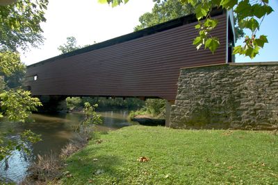
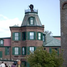
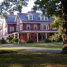
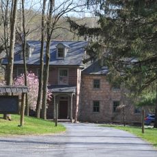
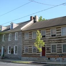
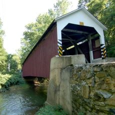
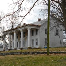
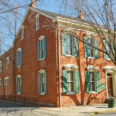
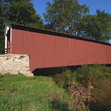
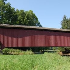
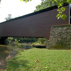
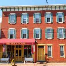
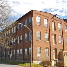
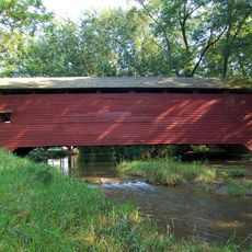
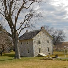
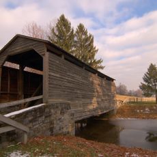
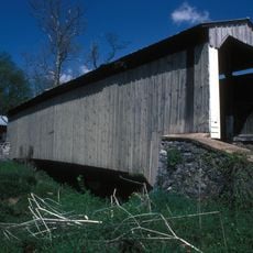
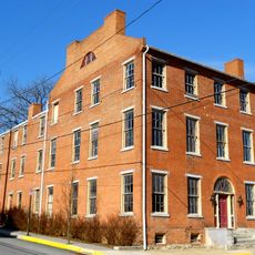
Rapho Township, township in Lancaster County, Pennsylvania
Location: Lancaster County
Website: http://raphotownship.com
GPS coordinates: 40.20000,-76.50139
Latest update: March 3, 2025 09:13
Mount Hope Estate
6.8 kmChickies Ridge
16.7 km
Cameron Estate
12.2 km
Speedwell Forge
14.6 km
Lititz Moravian Historic District
17.7 km
Siegrist's Mill Covered Bridge
14 km
Landis Mill Covered Bridge
19.8 km
Donegal Presbyterian Church Complex
12.3 km
Donegal Mills Plantation
13.2 km
Johann Agust Sutter House
17.2 km
Kauffman's Distillery Covered Bridge
9.7 km
Forry's Mill Covered Bridge
15 km
Schenck's Mill Covered Bridge
11.4 km
Manheim Borough Historic District
9.9 km
Ashley and Bailey Silk Mill
16.2 km
Shearer's Covered Bridge
10 km
Byers-Muma House
13.3 km
Buck Hill Farm Covered Bridge
18.7 km
Risser's Mill Covered Bridge
6.8 kmNissly Swiss Chocolate Company
9.9 km
Linden House
16 km
William Werner House
17.4 km
Colebrook Iron Master's House
4.5 km
George Brown's Sons Cotton and Woolen Mill
10.2 km
Samuel N. Mumma Tobacco Warehouse
13.5 km
Christian Habeck Farm
19.3 km
National Watch and Clock Museum
18.1 km
Lititz Historical Foundation
17.6 kmVisited this place? Tap the stars to rate it and share your experience / photos with the community! Try now! You can cancel it anytime.
Discover hidden gems everywhere you go!
From secret cafés to breathtaking viewpoints, skip the crowded tourist spots and find places that match your style. Our app makes it easy with voice search, smart filtering, route optimization, and insider tips from travelers worldwide. Download now for the complete mobile experience.
A unique approach to discovering new places❞
— Le Figaro
All the places worth exploring❞
— France Info
A tailor-made excursion in just a few clicks❞
— 20 Minutes