Enable Location

We need your location to show you interesting places around you

Discover nearby places

Find interesting locations and hidden gems around you

Precise directions

Get accurate directions and distances to places

Your location is never shared with other users. It's only used when you tap the location button.

TART Trail

Log in to your account

Start exploring — it's free

Trusted by 62,836 travelers worldwide

Continue with Google
Continue with Apple
or

We will send you a code to connect

By continuing, you accept our Terms and Conditions and our Privacy Policy

Check your inbox

We've sent a pincode in your inbox. Please enter the code below.

TART Trail

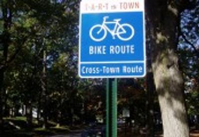
TART Trail, Protected multi-use path in Traverse City, Michigan, US

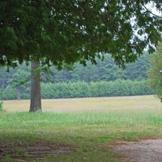
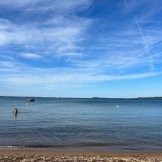
The TART Trail is a multi-use path stretching about 10 miles between Traverse City and Suttons Bay. The network connects different sections through woods, fields, and waterfront areas along Grand Traverse Bay.

The trail system was created by the Traverse Area Recreation and Transportation Organization to link communities across Grand Traverse and Leelanau counties. This project expanded outdoor recreation options and changed how people move through the region.

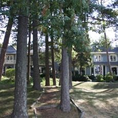
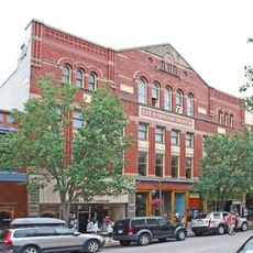
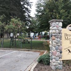
Local people use this path regularly for exercise and meeting others, making it part of the daily rhythm of the region. The route connects different communities and neighborhoods, helping residents stay active while exploring their local surroundings.

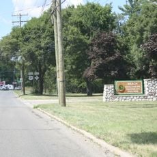
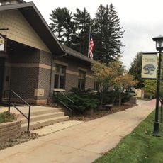
The path has several entry points with parking areas, making it easy to start from different locations. It is suitable for walking, cycling, inline skating, and winter sports activities year-round.

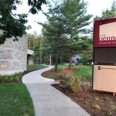
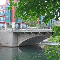
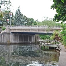
The system includes the Boardman Lake Loop, a section with lake views and access to urban waterfront areas. The path follows the Mitchell Creek watershed and passes through different ecosystems with varied plant and animal life.

The community of curious travelers

AroundUs brings together thousands of curated places, local tips, and hidden gems, enriched daily by 60,000 contributors worldwide.

Start exploring
Location
GPS coordinates
44.74450,-85.55290
Latest update
December 14, 2025 18:45
Around this place
Traverse City State Hospital
United States of America

Traverse City State Hospital

7 km
Coast Guard Air Station Traverse City
United States of America

Coast Guard Air Station Traverse City

2.2 km
Interlochen State Park
United States of America

Interlochen State Park

21.1 km
Bowers Harbor Inn
United States of America

Bowers Harbor Inn

15.9 km
Traverse City State Park
United States of America

Traverse City State Park

188 m
Perry Hannah House
United States of America

Perry Hannah House

6.1 km
Dennos Museum Center
United States of America

Dennos Museum Center

3.6 km
City Opera House
United States of America

City Opera House

5.9 km
Boardman Neighborhood Historic District
United States of America

Boardman Neighborhood Historic District

5.1 km
American Legion Memorial Bridge
United States of America

American Legion Memorial Bridge

5.7 km
Dougherty Mission House
United States of America

Dougherty Mission House

24.1 km
Skegemog Point Site
United States of America

Skegemog Point Site

17.5 km
Hughes House
United States of America

Hughes House

20 km
Central Neighborhood Historic District
United States of America

Central Neighborhood Historic District

6.4 km
William and Margaret McFarland Core Farm
United States of America

William and Margaret McFarland Core Farm

19.6 km
Elk Rapids First Methodist Episcopal Church
United States of America

Elk Rapids First Methodist Episcopal Church

20.1 km
South Union Street–Boardman River Bridge
United States of America

South Union Street–Boardman River Bridge

5.9 km
John Pulcipher House
United States of America

John Pulcipher House

7.5 km
Bingham District No. 5 Schoolhouse
United States of America

Bingham District No. 5 Schoolhouse

17.5 km
Fife Lake–Union District No. 1 Schoolhouse
United States of America

Fife Lake–Union District No. 1 Schoolhouse

21.5 km
Guntzviller's Spirit of the Woods Museum
United States of America

Guntzviller's Spirit of the Woods Museum

17.5 km
Kresge Auditorium
United States of America

Kresge Auditorium

21.4 km
Interlochen Historical Marker
United States of America

Interlochen Historical Marker

21.4 km
Clinch Park Beach
United States of America

Clinch Park Beach

5.5 km
Kingsley Village Office
United States of America

Kingsley Village Office

18 km
City Opera House Historical Marker
United States of America

City Opera House Historical Marker

6 km
Kingsley Middle School
United States of America

Kingsley Middle School

17.9 km
Brownson Memorial Park
United States of America

Brownson Memorial Park

18.1 km
Show the full map
« TART Trail - Protected multi-use path in Traverse City, Michigan, US » is provided by Around Us (aroundus.com). Images and texts are derived from Wikimedia project under a Creative Commons license. You are allowed to copy, distribute, and modify copies of this page, under the conditions set by the license, as long as this note is clearly visible.

Discover hidden gems everywhere you go!

From secret cafés to breathtaking viewpoints, skip the crowded tourist spots and find places that match your style. Our app makes it easy with voice search, smart filtering, route optimization, and insider tips from travelers worldwide. Download now for the complete mobile experience.

Around Us App Screenshot

A unique approach to discovering new places

Le Figaro

All the places worth exploring

France Info

A tailor-made excursion in just a few clicks

20 Minutes

Around Us
Travel Guide & Maps
Download

Send to your phone

QR Code
1

Open the camera app on your mobile.

2

Point at the QR code with your camera. A notification will appear.

3

Tap the notification to open the link.