Enable Location

We need your location to show you interesting places around you

Discover nearby places

Find interesting locations and hidden gems around you

Precise directions

Get accurate directions and distances to places

Your location is never shared with other users. It's only used when you tap the location button.

Mississippi National River and Recreation Area

Log in to your account

Start exploring — it's free

Trusted by 62,466 travelers worldwide

Continue with Google
Continue with Apple
or

We will send you a code to connect

By continuing, you accept our Terms and Conditions and our Privacy Policy

Check your inbox

We've sent a pincode in your inbox. Please enter the code below.

Mississippi National River and Recreation Area, national Park Service area in the United States

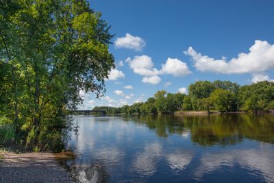
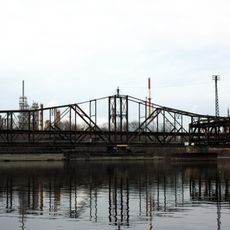
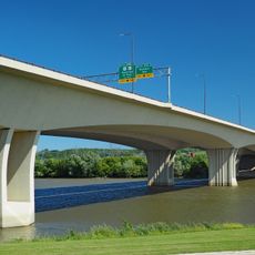
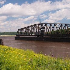
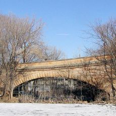
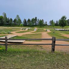
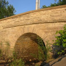
The Mississippi National River and Recreation Area stretches roughly 72 miles along the Mississippi River in Saint Paul and Minneapolis, Minnesota. It includes riverbank lands with forests, islands, and backwater areas alongside historic sites such as old mills and bridges, together forming a blend of nature and urban history.

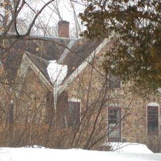
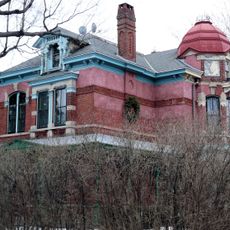
The protected area was established in 1988 to preserve natural and historic sites along the river, making it the only national park site in the United States dedicated solely to the Mississippi River. Centuries earlier, mills powered by waterfalls like those at St. Anthony Falls drove Minneapolis's development into a grain and flour production center.

The name "Mississippi" comes from Dakota Sioux people and means "great river". Visitors can walk along the banks today and see how this waterway links the city and nature together, weaving through green spaces, parks, and historic sites that people use in their daily lives.

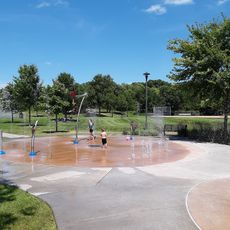
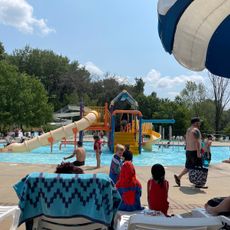
Visitors can walk along trails, bike, paddle, or fish, with multiple visitor centers and parks offering information and access points. The area is easily reached from the city and offers activities throughout the year, from snowshoeing and cross-country skiing in winter to hiking and boating in warmer months.

The site contains St. Anthony Falls, the only major waterfall on the Mississippi, which once powered the early mills that shaped Minneapolis. This is a rare geological feature on an otherwise slow-flowing river and marks the industrial force that molded the region.

The community of curious travelers

AroundUs brings together thousands of curated places, local tips, and hidden gems, enriched daily by 60,000 contributors worldwide.

Start exploring
Location
Summit - University
Location
Inception
1988
Operator
National Park Service
GPS coordinates
44.87330,-93.01883
Latest update
February 7, 2026 11:20
Around this place
Indian Mounds Park
United States of America

Indian Mounds Park

8.5 km
El Burrito Mercado
United States of America

El Burrito Mercado

7.8 km
Harriet Island Pavilion
United States of America

Harriet Island Pavilion

9.4 km
Rock Island Swing Bridge
United States of America

Rock Island Swing Bridge

2.4 km
Wakota Bridge
United States of America

Wakota Bridge

1.1 km
Stockyards Exchange
United States of America

Stockyards Exchange

2.3 km
St. Paul Union Pacific Rail Bridge
United States of America

St. Paul Union Pacific Rail Bridge

5.6 km
Cordenio Severance House
United States of America

Cordenio Severance House

9.4 km
St. Stefan's Romanian Orthodox Church
United States of America

St. Stefan's Romanian Orthodox Church

2.9 km
Serbian Home
United States of America

Serbian Home

1.9 km
Riverside Hangar
United States of America

Riverside Hangar

8.3 km
Reuben Freeman House
United States of America

Reuben Freeman House

6.2 km
Colorado Street Bridge
United States of America

Colorado Street Bridge

8.6 km
Riverview Branch Library
United States of America

Riverview Branch Library

8.2 km
George W. Wentworth House
United States of America

George W. Wentworth House

5.1 km
Saint Matthew's School
United States of America

Saint Matthew's School

8.3 km
Carver Lake Beach
United States of America

Carver Lake Beach

4.8 km
Anthony Yoerg, Sr. House
United States of America

Anthony Yoerg, Sr. House

9 km
Rau/Strong House
United States of America

Rau/Strong House

8.1 km
Giesen–Hauser House
United States of America

Giesen–Hauser House

9.3 km
United States of America

Dwight and Clara Watson House

8.6 km
Edward and Elizabeth Heimbach House and Carriage House
United States of America

Edward and Elizabeth Heimbach House and Carriage House

8.7 km
Park Grove Bowl
United States of America

Park Grove Bowl

5.1 km
Cottage Grove Spalsh Pad
United States of America

Cottage Grove Spalsh Pad

6.8 km
Battle Creek Waterworks
United States of America

Battle Creek Waterworks

8 km
Hy-Vee
United States of America

Hy-Vee

6.8 km
Mendota Road Bridge
United States of America

Mendota Road Bridge

9.3 km
Sun Ray Branch Library
United States of America

Sun Ray Branch Library

9 km
Show the full map
« Mississippi National River and Recreation Area - national Park Service area in the United States » is provided by Around Us (aroundus.com). Images and texts are derived from Wikimedia project under a Creative Commons license. You are allowed to copy, distribute, and modify copies of this page, under the conditions set by the license, as long as this note is clearly visible.

Discover hidden gems everywhere you go!

From secret cafés to breathtaking viewpoints, skip the crowded tourist spots and find places that match your style. Our app makes it easy with voice search, smart filtering, route optimization, and insider tips from travelers worldwide. Download now for the complete mobile experience.

Around Us App Screenshot

A unique approach to discovering new places

Le Figaro

All the places worth exploring

France Info

A tailor-made excursion in just a few clicks

20 Minutes

Around Us
Travel Guide & Maps
Download

Send to your phone

QR Code
1

Open the camera app on your mobile.

2

Point at the QR code with your camera. A notification will appear.

3

Tap the notification to open the link.