Enable Location

We need your location to show you interesting places around you

Discover nearby places

Find interesting locations and hidden gems around you

Precise directions

Get accurate directions and distances to places

Your location is never shared with other users. It's only used when you tap the location button.

Saint Paul

Log in to your account

Start exploring — it's free

Trusted by 62,936 travelers worldwide

Continue with Google
Continue with Apple
or

We will send you a code to connect

By continuing, you accept our Terms and Conditions and our Privacy Policy

Check your inbox

We've sent a pincode in your inbox. Please enter the code below.

Discussion Reviews 4 Photos
403k Popularity

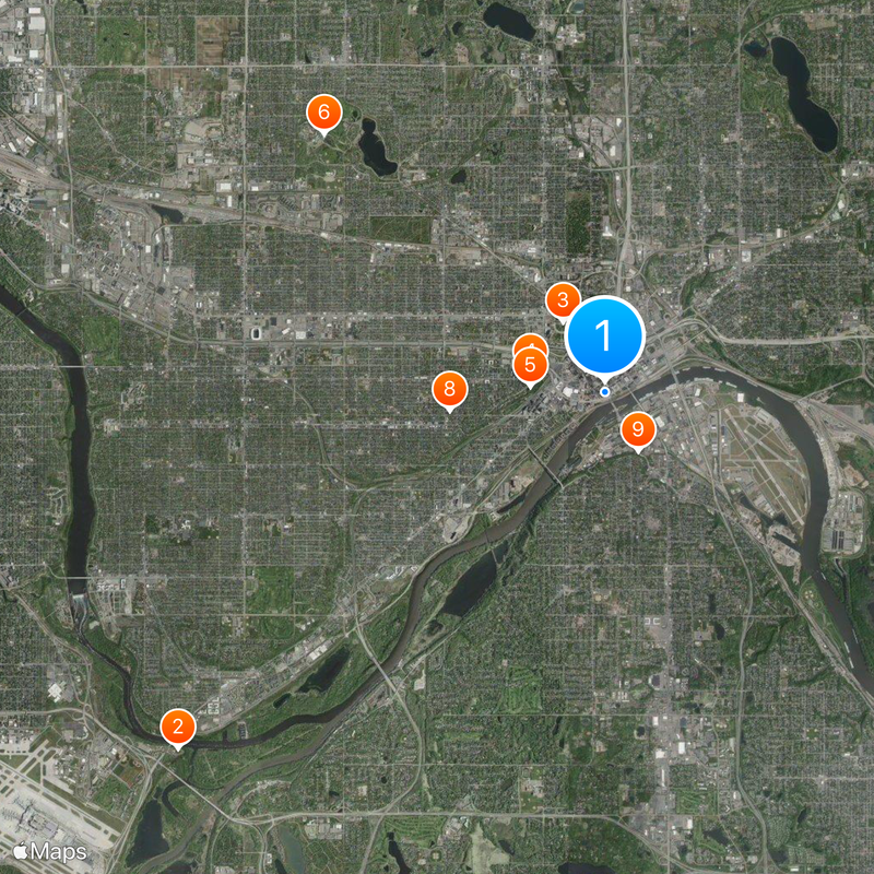
Saint Paul, State capital in Minnesota, United States

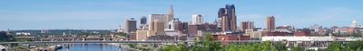
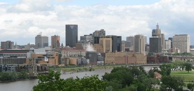
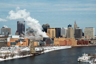
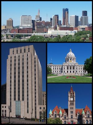
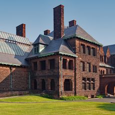
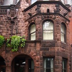
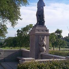
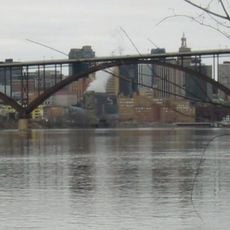
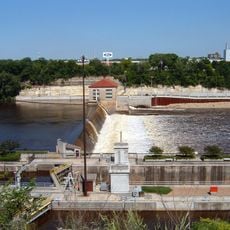
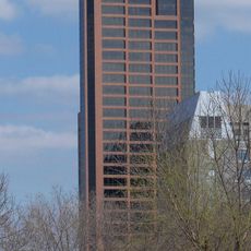
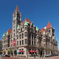
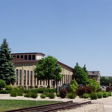
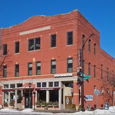
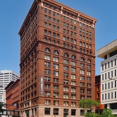
Saint Paul sits on high bluffs beside the Mississippi River and forms part of the Twin Cities metro area with Minneapolis to the west. The city extends across several neighborhoods with historic buildings, parks, and a downtown where government structures and business districts meet.

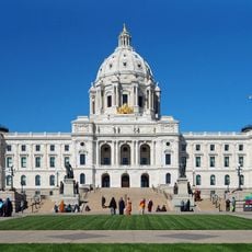
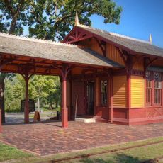
The legislature named the city capital of Minnesota Territory in 1849 after it had grown from a chapel built by missionary Lucien Galtier. By the late 19th century it became a trading hub as railroad lines connected the area to the rest of the country.

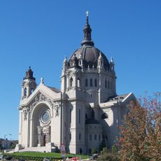
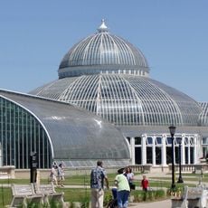
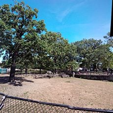
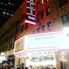
People gather in coffee shops around Cathedral Hill and in neighborhoods along Grand Avenue, where local bookstores and restaurants shape community life. On weekends, families fill Como Park while visitors browse the downtown farmers market for regional produce and baked goods.

The Metro Green Line connects the city to Minneapolis, with trains running every 10 minutes during peak hours. Many sights lie within walking distance near the State Capitol or along Summit Avenue, which is best explored in daylight.

The Winter Carnival has featured ice palaces, snow sculptures, and winter sports since 1886. Below downtown streets runs a system of heated pedestrian tunnels that link buildings and let residents stay indoors during cold months.

The community of curious travelers

AroundUs brings together thousands of curated places, local tips, and hidden gems, enriched daily by 60,000 contributors worldwide.

Start exploring
Location
Inception
1854
Elevation above the sea
250 m
Shares border with
Minneapolis, Lauderdale
GPS coordinates
44.94417,-93.09361
Latest update
December 14, 2025 19:27
Around this place
Fort Snelling
United States of America

Fort Snelling

8.9 km
Minnesota State Capitol
United States of America

Minnesota State Capitol

1.3 km
Cathedral of Saint Paul, National Shrine of the Apostle Paul
United States of America

Cathedral of Saint Paul, National Shrine of the Apostle Paul

1.2 km
James J. Hill House
United States of America

James J. Hill House

1.2 km
Como Park Zoo and Conservatory
United States of America

Como Park Zoo and Conservatory

6.1 km
Mickey's Diner
United States of America

Mickey's Diner

495 m
F. Scott Fitzgerald House
United States of America

F. Scott Fitzgerald House

2.5 km
United States of America

Wabasha Street Caves

1.1 km
Como Zoo
United States of America

Como Zoo

6.4 km
Luther Seminary
United States of America

Luther Seminary

9.3 km
RiverCentre
United States of America

RiverCentre

461 m
Fitzgerald Theater
United States of America

Fitzgerald Theater

598 m
Statue of Christopher Columbus
United States of America

Statue of Christopher Columbus

1.3 km
Indian Mounds Park
United States of America

Indian Mounds Park

3.2 km
Ordway Center for the Performing Arts
United States of America

Ordway Center for the Performing Arts

368 m
Smith Avenue High Bridge
United States of America

Smith Avenue High Bridge

1.5 km
Lock and Dam No. 1
United States of America

Lock and Dam No. 1

9.1 km
Palace Theatre
United States of America

Palace Theatre

525 m
Wells Fargo Place
United States of America

Wells Fargo Place

471 m
Landmark Center
United States of America

Landmark Center

324 m
Minnesota Transportation Museum
United States of America

Minnesota Transportation Museum

2.1 km
Pike Island
United States of America

Pike Island

8.1 km
Lowertown Historic District
United States of America

Lowertown Historic District

765 m
First National Bank Building
United States of America

First National Bank Building

347 m
Bandana Square
United States of America

Bandana Square

5.6 km
O'Shaughnessy Stadium
United States of America

O'Shaughnessy Stadium

7.7 km
C.S.P.S. Hall
United States of America

C.S.P.S. Hall

2 km
Pioneer and Endicott Buildings
United States of America

Pioneer and Endicott Buildings

420 m
Show the full map
Reviews
Share your experience

No review yet

Discussions
Start a discussion...

No discussion yet

« Saint Paul - State capital in Minnesota, United States » is provided by Around Us (aroundus.com). Images and texts are derived from Wikimedia project under a Creative Commons license. You are allowed to copy, distribute, and modify copies of this page, under the conditions set by the license, as long as this note is clearly visible.

Discover hidden gems everywhere you go!

From secret cafés to breathtaking viewpoints, skip the crowded tourist spots and find places that match your style. Our app makes it easy with voice search, smart filtering, route optimization, and insider tips from travelers worldwide. Download now for the complete mobile experience.

Around Us App Screenshot

A unique approach to discovering new places

Le Figaro

All the places worth exploring

France Info

A tailor-made excursion in just a few clicks

20 Minutes

Around Us
Travel Guide & Maps
Download

Send to your phone

QR Code
1

Open the camera app on your mobile.

2

Point at the QR code with your camera. A notification will appear.

3

Tap the notification to open the link.