Cúuy’em Butte, summit in Union County, Oregon, United States of America
Location: Oregon
Location: Union County
GPS coordinates: 45.18066,-117.56895
Latest update: November 8, 2025 10:53


Eagle Cap Wilderness
12.1 km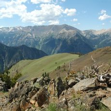
Sacajawea Peak
22.8 km
Catherine Creek State Park
13.5 km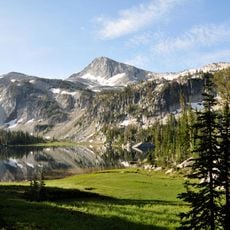
Eagle Cap
21 km
Cove Hot Springs Pool
22.7 km
Thief Valley Reservoir
25 km
Benson Glacier
21 km
Abel E. Eaton House
23.5 km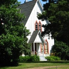
Ascension Episcopal Church
23.1 km
Copper Creek Falls
17.4 km
Flagstaff Point
15.8 km
Marble Point
19.1 km
Fox Point
26.6 km
Balm Creek Reservoir
23.9 km
Dunns Bluff
18.7 km
Granite Cliff
21.3 km
Pyles Canyon Reservoir Number Two
22.1 km
Buffalo Peak Golf Course
22.7 km
Scenic viewpoint
21.8 km
Scenic viewpoint
13.7 km
Scenic viewpoint
13.7 km
Ice Falls
24.7 km
BC Creek Falls
28.9 km
Waterfall
17.5 km
Waterfall
25.4 km
Waterfall
24.6 km
Waterfall
12 km
Slick Rock Creek Falls
22.6 kmReviews
Visited this place? Tap the stars to rate it and share your experience / photos with the community! Try now! You can cancel it anytime.
Discover hidden gems everywhere you go!
From secret cafés to breathtaking viewpoints, skip the crowded tourist spots and find places that match your style. Our app makes it easy with voice search, smart filtering, route optimization, and insider tips from travelers worldwide. Download now for the complete mobile experience.

A unique approach to discovering new places❞
— Le Figaro
All the places worth exploring❞
— France Info
A tailor-made excursion in just a few clicks❞
— 20 Minutes