
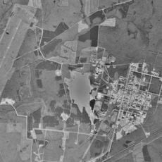
Altamont, human settlement in Grundy County, Tennessee, United States of America
Location: Grundy County
Inception: 1848
Elevation above the sea: 565 m
GPS coordinates: 35.43395,-85.73243
Latest update: April 10, 2025 23:12

Arnold Air Force Base
32.4 km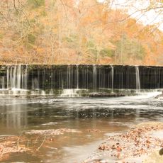
Old Stone Fort
34.5 km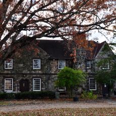
RyeMabee
23.4 km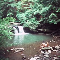
Fiery Gizzard Trail
20.5 km
Cumberland Caverns
26.2 km
Great Stage Park
29.3 km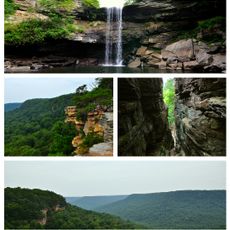
South Cumberland State Park
20.1 km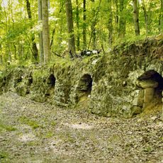
Dunlap coke ovens
30.6 km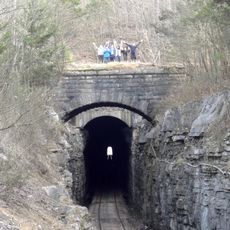
Cowan Tunnel
38.3 km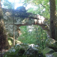
Sewanee Natural Bridge
35.6 km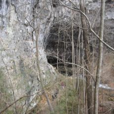
Lost Cove Cave
38.5 km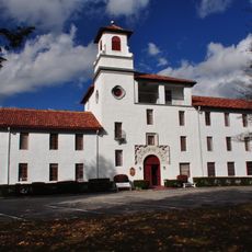
DuBose Conference Center
23.1 km
Falconhurst
31.5 km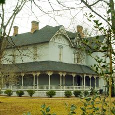
Falcon Rest
31.6 km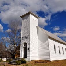
Northcutts Cove Chapel
9 km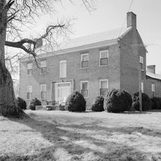
Northcutt Plantation
21.9 km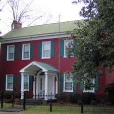
Black House
27.8 km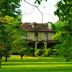
Haynes House
39.4 km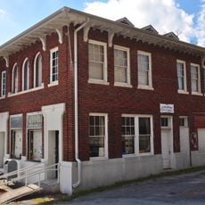
Coalmont Bank Building
10.9 km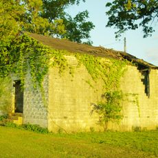
Asia School
38.9 km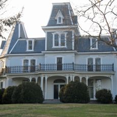
Col. A.M. Shook House
19.5 km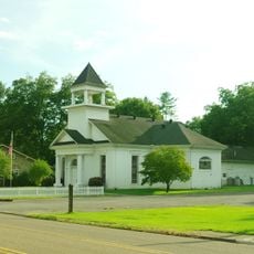
McKendree Methodist Episcopal Church
40.8 km
Sequatchie County Courthouse
32.1 km
First Presbyterian Church
27.8 km
Coffee County Courthouse
32.8 km
Wilkinson-Keele House
32.3 km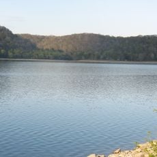
Normandy Lake
42.8 km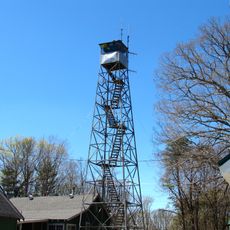
Sewanee Fire Lookout Tower
27.7 kmReviews
Visited this place? Tap the stars to rate it and share your experience / photos with the community! Try now! You can cancel it anytime.
Discover hidden gems everywhere you go!
From secret cafés to breathtaking viewpoints, skip the crowded tourist spots and find places that match your style. Our app makes it easy with voice search, smart filtering, route optimization, and insider tips from travelers worldwide. Download now for the complete mobile experience.

A unique approach to discovering new places❞
— Le Figaro
All the places worth exploring❞
— France Info
A tailor-made excursion in just a few clicks❞
— 20 Minutes