
Mount Kearsarge
12.7 km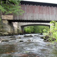
Contoocook Railroad Bridge
12.7 km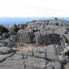
Winslow State Park
13.5 km
Rollins State Park
8.6 km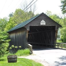
Bement Covered Bridge
7.8 km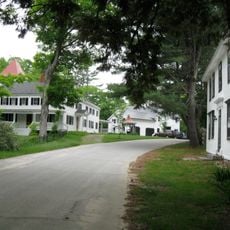
Waterloo Historic District
2.2 km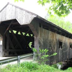
Waterloo Covered Bridge
2.1 km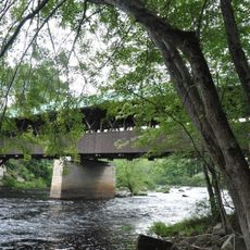
Rowell's Covered Bridge
12.3 km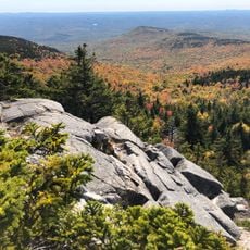
Kearsarge Mountain State Forest
12.7 km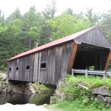
Dalton Covered Bridge
3.8 km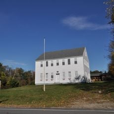
Old Webster Meeting House
13.2 km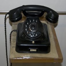
New Hampshire Telephone Museum
3.7 km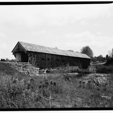
New Henniker Bridge
13 km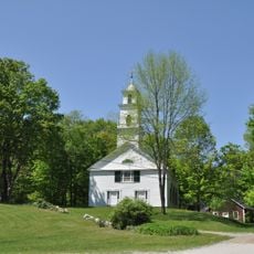
South Sutton Meeting House
8.5 km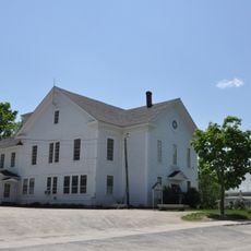
Bradford Town Hall
8.4 km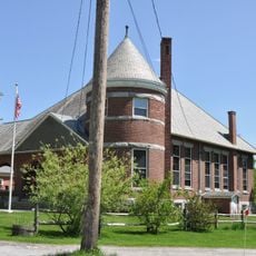
Pillsbury Memorial Hall
10.6 km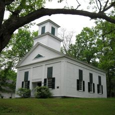
Lower Warner Meetinghouse
4.8 km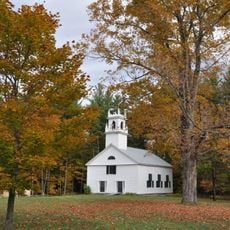
Bradford Center Meetinghouse
9.7 km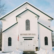
Henniker Town Hall
10.8 km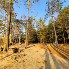
Wadleigh State Beach
12.4 km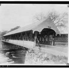
Contoocook Covered Bridge
12.8 km
Bear Pond
7.4 km
Loch Lyndon
9.7 km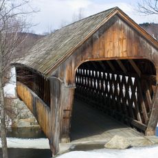
Henniker Covered Bridge
10.6 km
Todd Lake
9 km
Country Club of New Hampshire
11.5 km
Scenic viewpoint
8 km
Scenic viewpoint
7.9 kmReviews
Visited this place? Tap the stars to rate it and share your experience / photos with the community! Try now! You can cancel it anytime.
Discover hidden gems everywhere you go!
From secret cafés to breathtaking viewpoints, skip the crowded tourist spots and find places that match your style. Our app makes it easy with voice search, smart filtering, route optimization, and insider tips from travelers worldwide. Download now for the complete mobile experience.

A unique approach to discovering new places❞
— Le Figaro
All the places worth exploring❞
— France Info
A tailor-made excursion in just a few clicks❞
— 20 Minutes