Monongahela Bridge, 19th-century bridge in Pittsburgh, Pennsylvania
Location: Pittsburgh
Official opening: October 10, 1818
GPS coordinates: 40.43514,-80.00196
Latest update: November 20, 2025 14:30
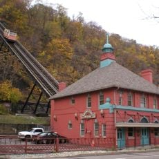
Monongahela Incline
468 m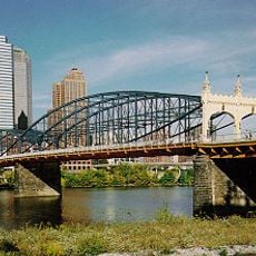
Smithfield Street Bridge
52 m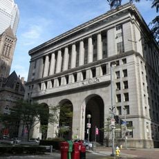
Pittsburgh City-County Building
541 m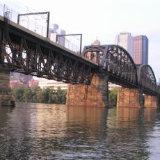
Panhandle Bridge
398 m
Oxford Centre
416 m
Wabash Bridge
510 m
Grant Building
460 m
Fourth Avenue Historic District
494 m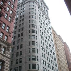
The Carlyle
454 m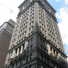
Arrott Building
489 m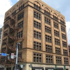
Firstside Historic District
338 m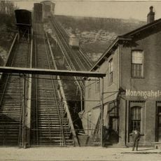
Monongahela Freight Incline
468 m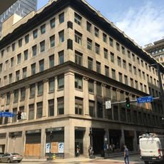
Frank & Seder Building
552 m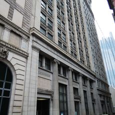
Commonwealth Building
458 m
Burke Building
543 m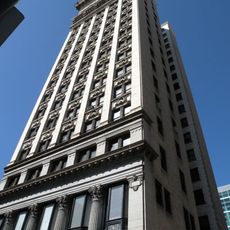
Benedum–Trees Building
519 m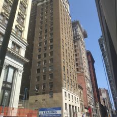
Investment Building
519 m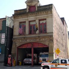
Engine Company No. 1 and No. 30
315 m
109-115 Wood Street
358 m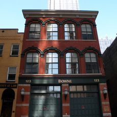
Mamaux Building
479 m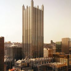
One PPG Place
529 m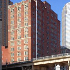
Jones & Laughlin Headquarters Building
479 m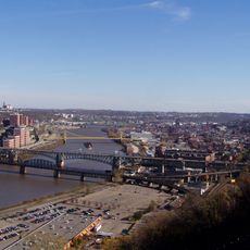
Liberty Bridge
509 m
Smithfield Street Bridge
16 m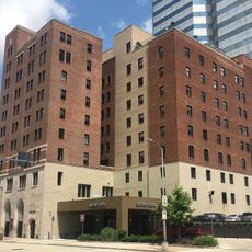
The Salvation Army Building
370 m
Primanti Bros.
498 m
Scenic viewpoint
543 m
Scenic viewpoint
532 mReviews
Visited this place? Tap the stars to rate it and share your experience / photos with the community! Try now! You can cancel it anytime.
Discover hidden gems everywhere you go!
From secret cafés to breathtaking viewpoints, skip the crowded tourist spots and find places that match your style. Our app makes it easy with voice search, smart filtering, route optimization, and insider tips from travelers worldwide. Download now for the complete mobile experience.

A unique approach to discovering new places❞
— Le Figaro
All the places worth exploring❞
— France Info
A tailor-made excursion in just a few clicks❞
— 20 Minutes