
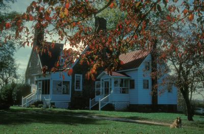
Sweet Hall, unincorporated community in King William County, Virginia, United States
Location: King William County
GPS coordinates: 37.57570,-76.89996
Latest update: March 2, 2025 23:11
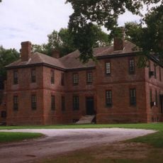
Elsing Green
13.7 km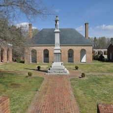
King William County Courthouse
16 km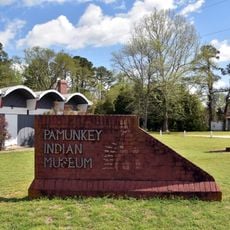
Pamunkey Indian Tribe Museum
9 km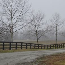
Chericoke
19.9 km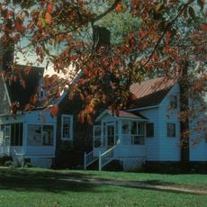
Sweet Hall
692 m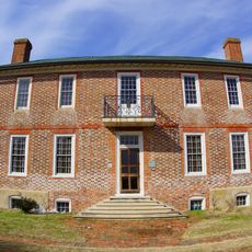
Chelsea
6.6 km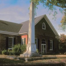
King and Queen Courthouse Green Historic District
10.7 km
Emmaus Baptist Church
19 km
White Hall
21.1 km
Bells Rock Light
16.7 km
Windsor Shades
1 km
Former New Kent High School
21.9 km
Windsor Castle
22.5 km
Olivet Presbyterian Church
18 km
Hickory Neck Church
22 km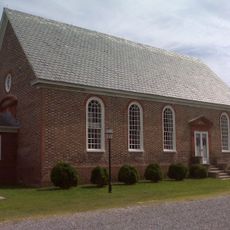
Upper Church, Stratton Major Parish
11.8 km
Fort Mattapony
19.7 km
Newington Archaeological Site
10.7 km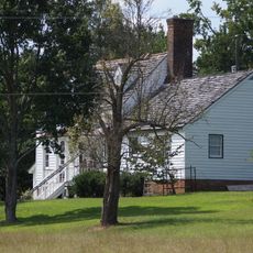
Spring Hill (Providence Forge, Virginia)
19 km
Cumberland
7.9 km
West Point Historic District
10.3 km
Marl Hill
13.1 km
Poplar Springs
22.9 km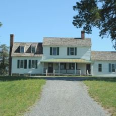
Cedar Lane
13.6 km
Kempsville
23.1 km
Lanesville Christadelphian Church
8.2 km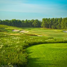
Royal New Kent Golf Club
15.5 km
New Kent School and George W. Watkins School
21.8 kmReviews
Visited this place? Tap the stars to rate it and share your experience / photos with the community! Try now! You can cancel it anytime.
Discover hidden gems everywhere you go!
From secret cafés to breathtaking viewpoints, skip the crowded tourist spots and find places that match your style. Our app makes it easy with voice search, smart filtering, route optimization, and insider tips from travelers worldwide. Download now for the complete mobile experience.

A unique approach to discovering new places❞
— Le Figaro
All the places worth exploring❞
— France Info
A tailor-made excursion in just a few clicks❞
— 20 Minutes