
Michigan State Ferry System Historical Marker, park in Cheboygan County, Michigan, United States of America

Mackinac Bridge
4.2 km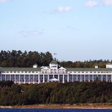
Grand Hotel
11.2 km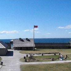
Fort Michilimackinac
1.2 km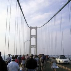
Mackinac Bridge Walk
4.9 km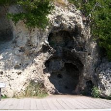
Devil's Kitchen
10.7 km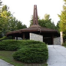
Father Marquette National Memorial
8.2 km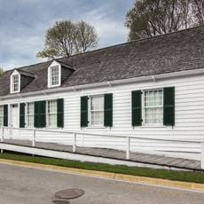
Biddle House
11.4 km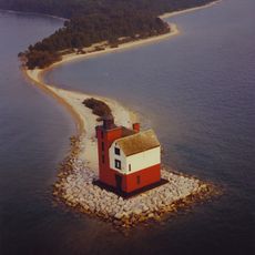
Round Island Light
10.7 km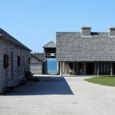
Fort Michilimackinac State Park
1.2 km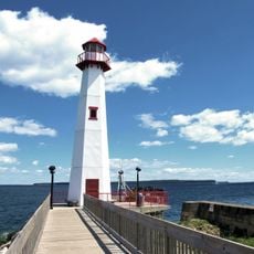
Wawatam Lighthouse
9.8 km
Straits of Mackinac Shipwreck Preserve
4.4 km
The Headlands
4.5 km
Straits State Park
8.3 km
Historic Mill Creek State Park
5.8 km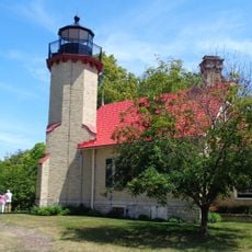
McGulpin Point Light
3.8 km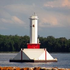
Round Island Passage Light
11.2 km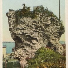
St. Anthony's Rock
10 km
St. Ignace Mission
10.4 km
Mama Mia's Pizza
419 m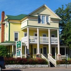
John Chambers House
9.9 km
Forrest J. Stimpson House
957 m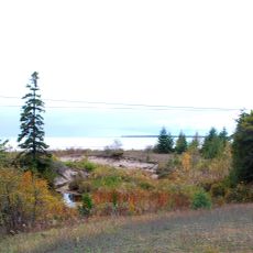
Gros Cap Archaeological District
11.4 km
Marquette Street Archaeological District
9.9 km
Historic Mill Creek Discovery Park
5.6 km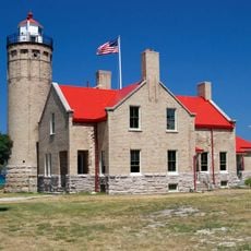
Old Mackinac Point Light
1.1 km
The Wacky Taxidermy and Miniatures Museum
246 m
Mackinaw Bridge Museum
427 m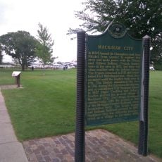
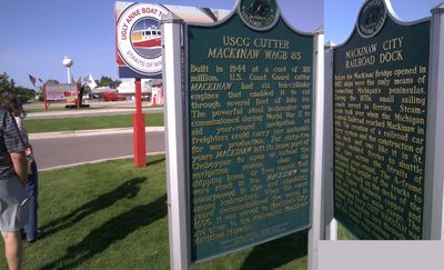
Mackinaw City Historical Marker
332 mReviews
Visited this place? Tap the stars to rate it and share your experience / photos with the community! Try now! You can cancel it anytime.
Discover hidden gems everywhere you go!
From secret cafés to breathtaking viewpoints, skip the crowded tourist spots and find places that match your style. Our app makes it easy with voice search, smart filtering, route optimization, and insider tips from travelers worldwide. Download now for the complete mobile experience.

A unique approach to discovering new places❞
— Le Figaro
All the places worth exploring❞
— France Info
A tailor-made excursion in just a few clicks❞
— 20 Minutes