
Roberts Bridge, Ohio historical marker 1-68 - though erroneously marked at one point 68-1
Location: Preble County
Part of: Remarkable Ohio
GPS coordinates: 39.74057,-84.63855
Latest update: March 18, 2025 05:31

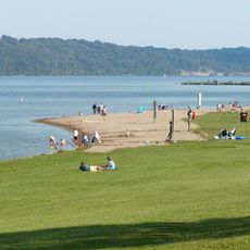
Hueston Woods State Park
20.5 km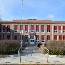
Eaton High School
1.2 km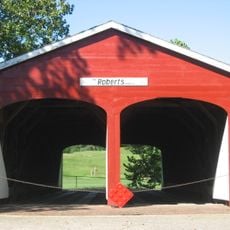
Roberts Covered Bridge
18 m
Reid Memorial Presbyterian Church
23.6 km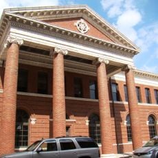
Richmond Railroad Station Historic District
23.9 km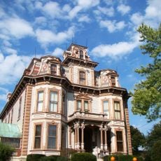
Abram Gaar House and Farm
23 km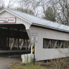
Brubaker Covered Bridge
12.8 km
Old Richmond Historic District
23.5 km
Starr Historic District
22.9 km
Richmond Downtown Historic District
23.8 km
Forest Hills Country Club
21 km
Henry and Alice Gennett House
22.7 km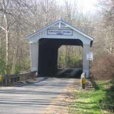
Christman Covered Bridge
3.6 km
Reeveston Place Historic District
23.2 km
Hopewell Associate Reformed Presbyterian Church
18.5 km
Richmond Civic Theater
23.5 km
East Main Street-Glen Miller Park Historic District
21.9 km
Bethel A.M.E. Church
23.9 km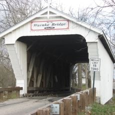
Warnke Covered Bridge
18.2 km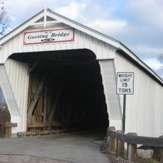
Geeting Covered Bridge
12 km
Acton House
365 m
Harshman Covered Bridge
12 km
Unzicker-Cook House
22.7 km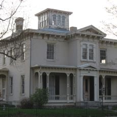
Andrew F. Scott House
23.7 km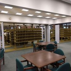
Morrison-Reeves Library
24.1 km
Model T Museum
23.9 km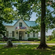
Preble County Historical Society and Nature Reserve
12.1 km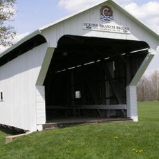
Dixon's Branch Bridge
14.7 kmReviews
Visited this place? Tap the stars to rate it and share your experience / photos with the community! Try now! You can cancel it anytime.
Discover hidden gems everywhere you go!
From secret cafés to breathtaking viewpoints, skip the crowded tourist spots and find places that match your style. Our app makes it easy with voice search, smart filtering, route optimization, and insider tips from travelers worldwide. Download now for the complete mobile experience.

A unique approach to discovering new places❞
— Le Figaro
All the places worth exploring❞
— France Info
A tailor-made excursion in just a few clicks❞
— 20 Minutes