Powell Marsh Wildlife Area, Wildlife sanctuary in northern Wisconsin, United States.
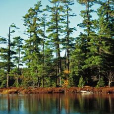
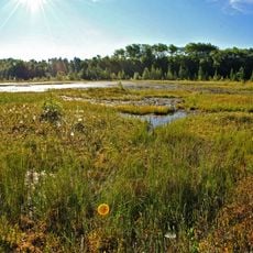
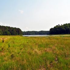
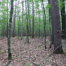
Powell Marsh Wildlife Area is a protected nature preserve spanning 4,850 acres of wetlands, forests, and open water across Vilas and Iron counties. The site features an extensive network of trails and water access points designed to accommodate different visitor activities.
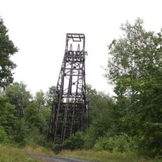
Wisconsin's Department of Natural Resources established this protected area in 1955, transforming former farmsteads and railway corridors into natural habitats. The conversion of the land reflects how the region returned to nature after industrial use.
The land sits on territory that Chippewa tribes ceded through treaties in 1837 and 1842, and members of these nations continue to exercise traditional hunting and fishing rights here today. These practices remain central to how people relate to and use this place.
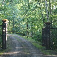
The site offers an 8.5-mile trail system for hiking and wildlife viewing, with designated zones for hunting and fishing according to state regulations. Access varies by season and activity, so checking conditions before your visit helps you plan accordingly.
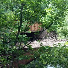
The wetland contains five lakes and seven flowages that support around 200 bird species, including endangered populations like the black tern and yellow rail. This remarkable bird diversity makes the site a valuable spot for birders and nature observers.
The community of curious travelers
AroundUs brings together thousands of curated places, local tips, and hidden gems, enriched daily by 60,000 contributors worldwide.