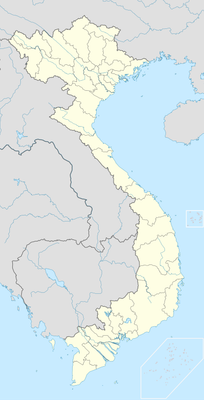
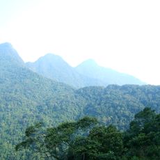
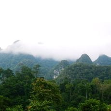
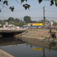
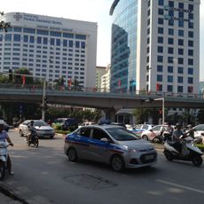
Tân Sơn, District of Phu Tho, Vietnam
Location: Phú Thọ
Elevation above the sea: 418 m
GPS coordinates: 21.21726,105.01446
Latest update: May 17, 2025 05:31
Hùng Temple
36.2 km
My Dinh National Stadium
80.8 km
AON Hanoi Landmark Tower
83 km
Nhật Tân Bridge
84.8 km
Nui Coc Lake
81.1 km
Tam Đảo
69.7 km
Thầy Temple
69 km
Chùa Tây Phương
62.7 km
Vietnam Museum of Ethnology
83.8 km
Lotte Center Hanoi
85.4 km
Son Tay Ancient Citadel
51.6 km
Thanh Trì Bridge
81.2 km
Thu Le Park
84.9 km
Ba Vi National Park
39.4 km
Hanoi Museum
83.4 km
Tam Dao National Park
64.8 km
Quần Ngựa Sports Palace
85.4 km
Xuan Son National Park
11.3 km
Viet Tri Stadium
42.5 km
Cầu Giấy
84.3 km
Noi temple
85.9 km
Thanh Chuong Viet Palace
82.1 km
B-52 Victory Museum
86.7 km
Hotel LakeSide
86.1 km
Thác Bà Lake
56.8 km
Daewoo overpass
85.5 km
Vietnam National Museum of Nature
83.8 km
Collection of Buddhist statues at Tay Phuong temple
63 kmReviews
Visited this place? Tap the stars to rate it and share your experience / photos with the community! Try now! You can cancel it anytime.
Discover hidden gems everywhere you go!
From secret cafés to breathtaking viewpoints, skip the crowded tourist spots and find places that match your style. Our app makes it easy with voice search, smart filtering, route optimization, and insider tips from travelers worldwide. Download now for the complete mobile experience.
A unique approach to discovering new places❞
— Le Figaro
All the places worth exploring❞
— France Info
A tailor-made excursion in just a few clicks❞
— 20 Minutes