
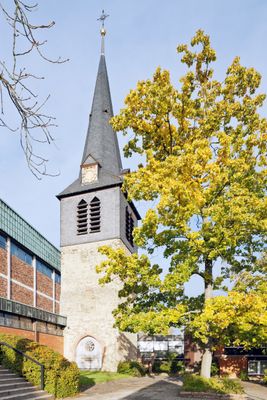
Church tower of St Michael's, church tower in Frankfurt
Location: Frankfurt-West
Inception: 1300
Address: Michaelstraße 6
GPS coordinates: 50.12002,8.56618
Latest update: March 21, 2025 22:17
Bolongaropalast
2.3 km
Arboretum Main-Taunus
2.1 km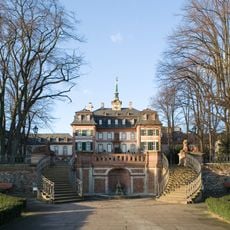
Frankfurt-West
2 km
Niedwald
2.2 km
Eschborn-Süd
1.8 km
Wörthspitze
2.4 km
Amtsgericht Höchst
1.9 km
Technisches Zentrum Eschborn
1.5 km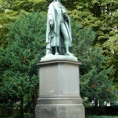
Schiller monument
1.1 km
Friedhof Höchst
1.4 km
Höchster Stadtpark
1.4 km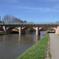
Nied Railway Bridge
1.8 km
Sossenheimer Unterfeld
1.1 km
Museum für Uhren, Schmuck und Kunst Frankfurt am Main
2.4 km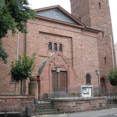
Christuskirche (Frankfurt-Nied)
2.2 km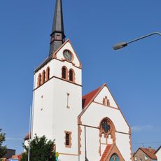
Evangelische Kirche Sossenheim
229 m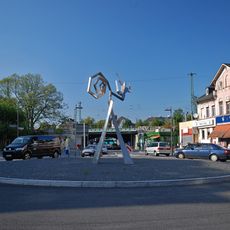
Windsbraut
2.4 km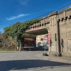
Bridge of Soden Railway over Billtalstraße
2.1 km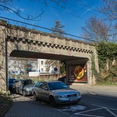
Bridge of Soden Railway over Zuckschwerdtstraße
1.9 km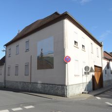
Ehemaliger Gasthof
2.4 km
Funeral hall of the Höchst cemetery
1.4 km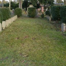
Graves at Nied cemetery
1.8 km
Haus Königsteiner Straße 28
2.3 km
Tankstelle
2.3 km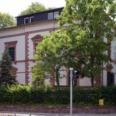
Emmerich-Josef-Straße 1
2.2 km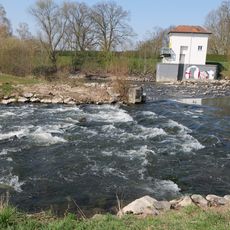
Höchster Wehr
1.4 km
Kreishaus
2.2 km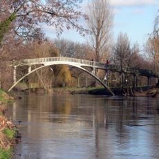
Niddasteg
2.4 kmReviews
Visited this place? Tap the stars to rate it and share your experience / photos with the community! Try now! You can cancel it anytime.
Discover hidden gems everywhere you go!
From secret cafés to breathtaking viewpoints, skip the crowded tourist spots and find places that match your style. Our app makes it easy with voice search, smart filtering, route optimization, and insider tips from travelers worldwide. Download now for the complete mobile experience.

A unique approach to discovering new places❞
— Le Figaro
All the places worth exploring❞
— France Info
A tailor-made excursion in just a few clicks❞
— 20 Minutes