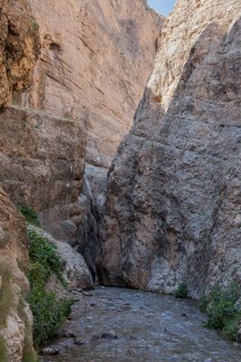
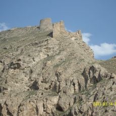
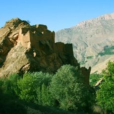
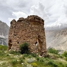
Vashi Canyon, canyon in Firuzkuh County, Iran
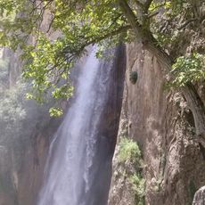
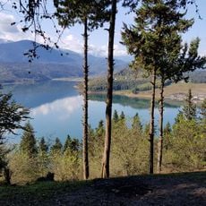
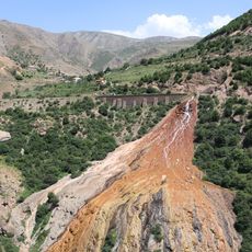
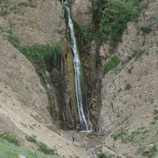
Vashi Canyon is a gorge in the northeast of Tehran with two narrow sections and tall rock walls that rise over 100 meters high, creating shadowed passages. A river runs through the interior, eventually giving way to a waterfall around 15 meters high and grassy meadows called Savashi field at the end.
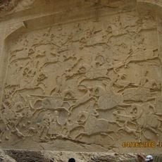
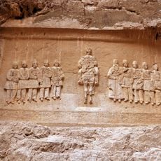
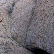
The canyon was shaped over thousands of years by flowing water that carved deep cracks and passages through the rocks. During the Qajar dynasty roughly 200 years ago, a large stone carving depicting hunting scenes and portraits of the king and his sons was created on the canyon walls.
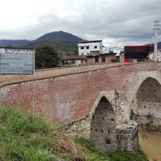
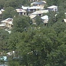
The canyon holds meaning as a gathering place where local communities have come for generations to enjoy the outdoors. Visitors can observe how the flowing water and shaded paths remain central to the rhythm of seasonal visits and summer activities in this rural area.
Visitors should wear sturdy hiking boots because parts of the route go through water or over rough terrain with large rocks underfoot. Visiting on weekdays is recommended to avoid crowds, especially during the warmer months when the site is more popular.
The canyon walls display a large stone carving from the time of Fath Ali Shah, the Qajar king, showing hunting scenes and measuring roughly 6 by 7 meters. This ancient artwork has been damaged in recent years by visitors, though its natural position offers protection from rain and sun.
The community of curious travelers
AroundUs brings together thousands of curated places, local tips, and hidden gems, enriched daily by 60,000 contributors worldwide.