172 And 174, Westgate Road, building in Newcastle upon Tyne, Tyne and Wear, UK
Location: Newcastle upon Tyne
GPS coordinates: 54.97112,-1.62311
Latest update: November 16, 2025 00:24
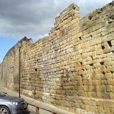
Newcastle town wall
126 m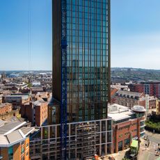
Hadrian's Tower
68 m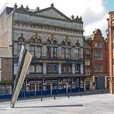
Tyne Theatre and Opera House
157 m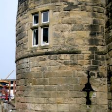
Morden Tower
159 m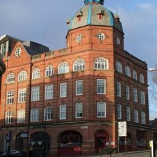
Former Co-operative Wholesale Society Printing Works
93 m
Second Church of Christ, Scientist
187 m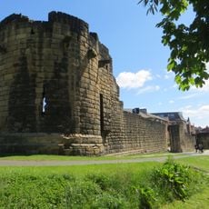
Herber Tower
138 m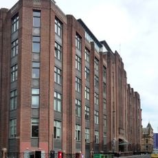
Alfred Wilson House
224 m
200 And 202, Westgate Road
99 m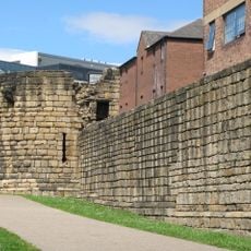
Town Wall With Durham Tower
157 m
190, Westgate Road
56 m
9 And 10, Charlotte Square
191 m
House Carpenter's Hall
196 m
3, 4, 5, 6, 7, 8, Charlotte Square
192 m
Dwarf Walls And Railings In Centre Of Square
224 m
7-12, Summerhill Terrace
196 m
236, Westgate Road
225 m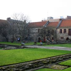
Blackfriars West Range
217 m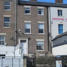
178, Westgate Road
15 m
1-6, Greenfield Place
196 m
56-63, Thornton Street
183 m
Studio 1-2-3-4
220 m
4-9, Swinburne Place
157 m
House Of Recovery In Yard Behind College Of Advanced Technology
159 m
Newcastle upon Tyne town defences: section of curtain wall including Durham Tower and section of town ditch
157 m
Alphabetti Theatre
226 m
Ever Changing
174 m
NCL_12
165 mReviews
Visited this place? Tap the stars to rate it and share your experience / photos with the community! Try now! You can cancel it anytime.
Discover hidden gems everywhere you go!
From secret cafés to breathtaking viewpoints, skip the crowded tourist spots and find places that match your style. Our app makes it easy with voice search, smart filtering, route optimization, and insider tips from travelers worldwide. Download now for the complete mobile experience.

A unique approach to discovering new places❞
— Le Figaro
All the places worth exploring❞
— France Info
A tailor-made excursion in just a few clicks❞
— 20 Minutes