
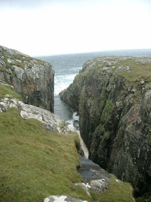
Barra, Dun Ban, hillfort in Outer Hebrides, Scotland, UK
Location: Outer Hebrides
Location: Barra
GPS coordinates: 56.97131,-7.54643
Latest update: March 4, 2025 17:47
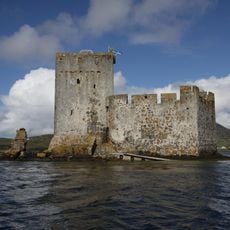
Kisimul Castle
4.2 km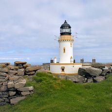
Barra Head Lighthouse
21.7 km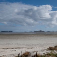
Tràigh Mhòr
9 km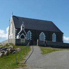
St Michael's Church
19.4 km
Biruaslum
4.6 km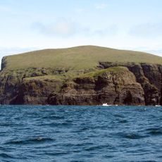
Arnamul
20.3 km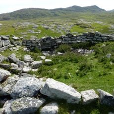
Dun Cuier
4.5 km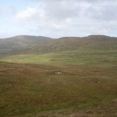
Dun Bharpa,chambered cairn 800m NE of Balnacraig
4.3 km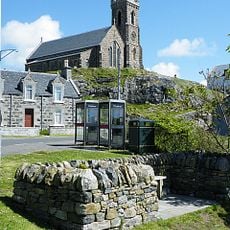
Church of our Lady, Star of the Sea, Barra
4.1 km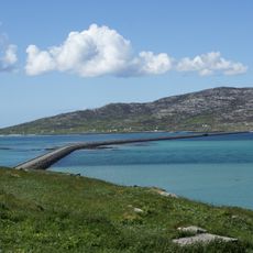
Eriskay Causeway
19.8 km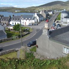
Barra, Castlebay, The Square
4.1 km
Cille Bharra
10.2 km
Prince’s Beach
18.6 km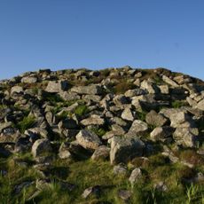
Dun a Chaolais
3.2 km
Garrynamonie, Our Lady Of Sorrows Rc Church Including Boundary Walls And Gatepiers
20.5 km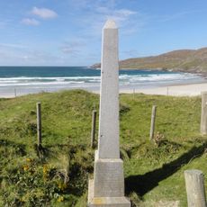
Annie Jane Monument, Vatersay
5.1 km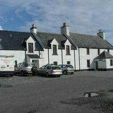
South Uist, Pollachar Inn
18.1 km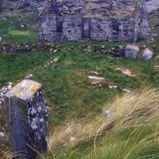
Pabbay,symbol stone,cross-marked stones,chapel and settlement
13.1 km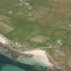
West Kilbride Walled Garden, South Uist
18.7 km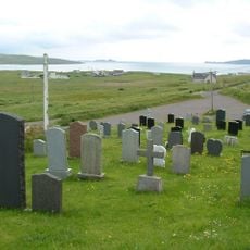
Cille Bharra, church, two chapels, and seven grave markers, Barra
10.2 km
Mingulay, Geirum Mor
20.8 km
Dun Scurrival,dun,Eoligarry
10 km
Dunan Ruadh,galleried dun,Pabbay,Barra
12.8 km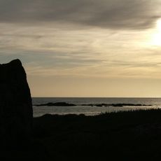
Pollachar,standing stone 250m SW of
18.1 km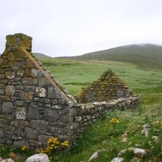
Mingulay, village and field system
18.5 km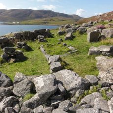
Alt Chrisal, multi-period settlement 750m ESE of Gortein, Barra
2.8 km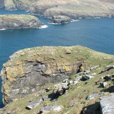
Berneray, Dun Briste
21.4 km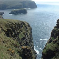
Mingulay, Dun Mhiughlaigh
19.8 kmReviews
Visited this place? Tap the stars to rate it and share your experience / photos with the community! Try now! You can cancel it anytime.
Discover hidden gems everywhere you go!
From secret cafés to breathtaking viewpoints, skip the crowded tourist spots and find places that match your style. Our app makes it easy with voice search, smart filtering, route optimization, and insider tips from travelers worldwide. Download now for the complete mobile experience.

A unique approach to discovering new places❞
— Le Figaro
All the places worth exploring❞
— France Info
A tailor-made excursion in just a few clicks❞
— 20 Minutes