
Bodoney Lower, civil parish in County Tyrone, Northern Ireland
Location: County Tyrone
Location: Strabane Upper
GPS coordinates: 54.71695,-7.12825
Latest update: April 16, 2025 04:33
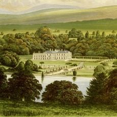
Baronscourt
20.2 km
Ulster American Folk Park
14.7 km
Healy Park
15.8 km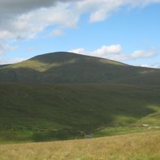
Sawel Mountain
12.8 km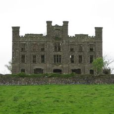
Altinaghree Castle
19.7 km
Aughlish
20.7 km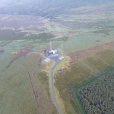
Mullaghcarn
7.1 km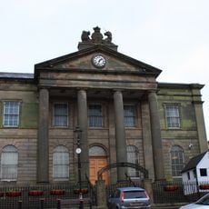
Courthouse High Street Omagh Co. Tyrone Bt78 1du
17.3 km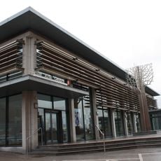
Strule Arts Centre
17.2 km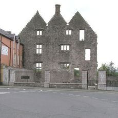
Stewart Castle
15.9 km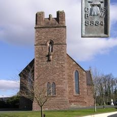
Sacred Heart Church, Plumbridge
17.4 km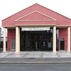
Patrician Hall
14.2 km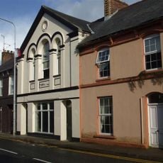
Newtownstewart Town Hall
16 km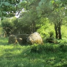
Portal Tomb von Cloghfin
14.3 km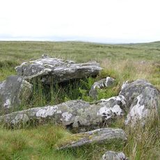
Clogherny Meenerrigal
11.4 km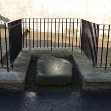
Steinkiste von Newtownstewart
16 km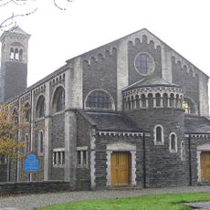
Church Of The Good Shepherd Melmount Road Sion Mills Co. Tyrone Bt82 9et
23.3 km
Straidarran House Clagan Road Claudy Co Londonderry Bt47 4db
19.4 km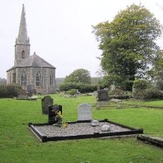
Cappagh Church Of Ireland Cappagh Road Omagh Bt79 7jg
15 km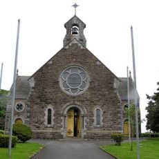
St Mary's Roman Catholic Church 7 Cavanakeeran Road Pomeroy Dungannon Co Tyrone
18.6 km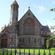
First Presbyterian Church Dublin Road Omagh Co. Tyrone Bt78 1tt
17.1 km
St. Columbaís Church Of Ireland Church Street Omagh Co. Tyrone Bt78 1dg
17.3 km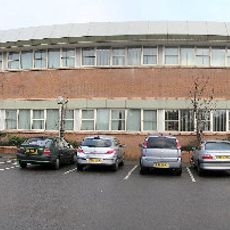
Omagh Library
17.1 km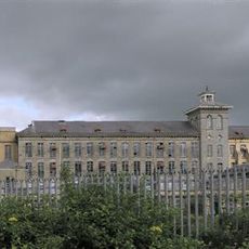
Herdmans' Mill Mill Avenue Sion Mills Liggartown Strabane Co Tyrone Bt82 9he
23.1 km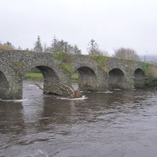
Newtownstewart Old Bridge Douglas Road Newtownstewart Co. Tyrone Bt78 4ne
15.8 km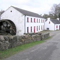
Wellbrook Beetling Mill
19.8 km
Wilson House 28 Spout Road Dergalt Strabane Co. Tyrone Bt82 8nb
21.9 km
Newtownstewart Library
16.1 kmReviews
Visited this place? Tap the stars to rate it and share your experience / photos with the community! Try now! You can cancel it anytime.
Discover hidden gems everywhere you go!
From secret cafés to breathtaking viewpoints, skip the crowded tourist spots and find places that match your style. Our app makes it easy with voice search, smart filtering, route optimization, and insider tips from travelers worldwide. Download now for the complete mobile experience.

A unique approach to discovering new places❞
— Le Figaro
All the places worth exploring❞
— France Info
A tailor-made excursion in just a few clicks❞
— 20 Minutes