Enable Location

We need your location to show you interesting places around you

Discover nearby places

Find interesting locations and hidden gems around you

Precise directions

Get accurate directions and distances to places

Your location is never shared with other users. It's only used when you tap the location button.

County Tyrone

Log in to your account

Start exploring — it's free

Trusted by 62,473 travelers worldwide

Continue with Google
Continue with Apple
or

We will send you a code to connect

By continuing, you accept our Terms and Conditions and our Privacy Policy

Check your inbox

We've sent a pincode in your inbox. Please enter the code below.

County Tyrone, Historic county in Northern Ireland

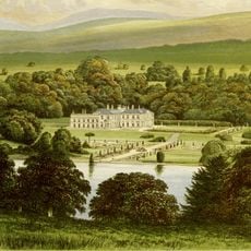
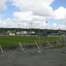
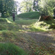
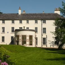
County Tyrone is a historic county in Northern Ireland stretching from the flat peatlands near Lough Neagh to the elevated hills of the Sperrin Mountains in the west. The landscape shifts between rolling valleys, open pastures, and wooded slopes crossed by small rivers.

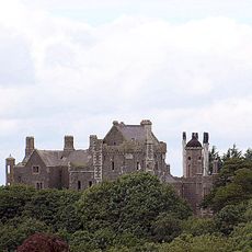
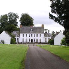
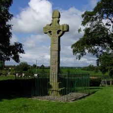
The area formed the core of ancient Tír Eoghain, controlled for centuries by the O'Neill clans. Their power ended in the 17th century when plantations brought English and Scottish settlers into the land.

The name derives from Tír Eoghain, the land of Eoghan, recalling the Gaelic roots of the region. Today this connection shows in place names, traditional music sessions, and the Irish language still spoken in some communities.

Regular bus services run from Belfast to larger settlements like Omagh, Cookstown, and Dungannon. Roads in the countryside are narrow and winding, so plan for slower travel and leave enough time between stops.

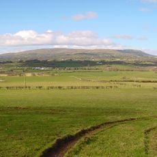
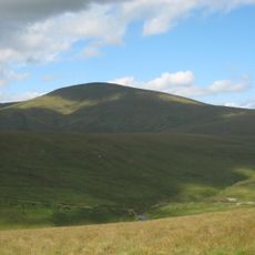
Sawel Mountain rises to 678 meters (2,224 feet) as the highest peak in the county on the border with Londonderry. From its ridge you can see across both counties and over the wide moorlands toward the coast.

The community of curious travelers

AroundUs brings together thousands of curated places, local tips, and hidden gems, enriched daily by 60,000 contributors worldwide.

Start exploring
Location
Capital city
Omagh
Part of
Northern Ireland
Shares border with
County Donegal, County Monaghan, County Fermanagh, County Londonderry, County Armagh, County Antrim
GPS coordinates
54.61000,-7.16000
Latest update
December 15, 2025 01:59
« County Tyrone - Historic county in Northern Ireland » is provided by Around Us (aroundus.com). Images and texts are derived from Wikimedia project under a Creative Commons license. You are allowed to copy, distribute, and modify copies of this page, under the conditions set by the license, as long as this note is clearly visible.

Discover hidden gems everywhere you go!

From secret cafés to breathtaking viewpoints, skip the crowded tourist spots and find places that match your style. Our app makes it easy with voice search, smart filtering, route optimization, and insider tips from travelers worldwide. Download now for the complete mobile experience.

Around Us App Screenshot

A unique approach to discovering new places

Le Figaro

All the places worth exploring

France Info

A tailor-made excursion in just a few clicks

20 Minutes

Around Us
Travel Guide & Maps
Download

Send to your phone

QR Code
1

Open the camera app on your mobile.

2

Point at the QR code with your camera. A notification will appear.

3

Tap the notification to open the link.