
Gargunnock, Scottish parish in Stirling, Scotland, UK
Location: Stirling
Part of: Presbytery of Stirling
Shares border with: St Ninians, Fintry, Balfron, Kippen, Kincardine
GPS coordinates: 56.12561,-4.08489
Latest update: April 15, 2025 05:45

Doune Castle
7 km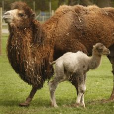
Blair Drummond Safari and Adventure Park
5.3 km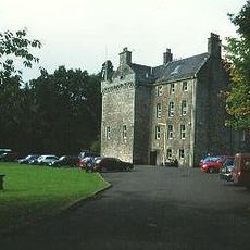
Culcreuch Castle
10.9 km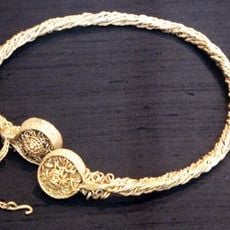
Stirling torcs
5.6 km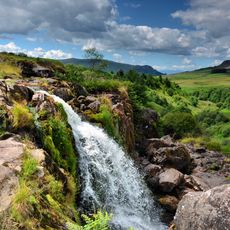
Loup of Fintry
9.4 km
Leckie Broch
1.4 km
Coldoch Broch
3.7 km
Gargunnock Hills
3.7 km
Fintry Castle
10.3 km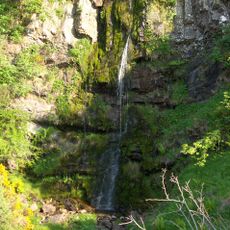
Downie's Loup
1.4 km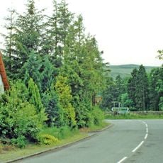
Gargunnock railway station
1.1 km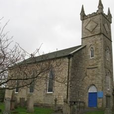
Old Fintry Parish Church
11.4 km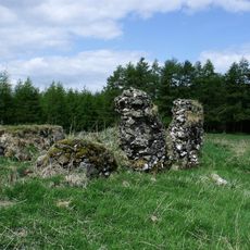
Sir John de Graham’s Castle
9 km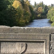
Doune, River Teith, Bridge Of Teith
6.9 km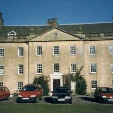
Gargunnock House
1.1 km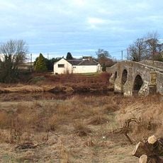
Drip Bridge
6.6 km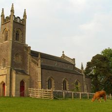
Kincardine Parish Church
4.6 km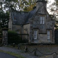
Doune, Bridge Of Teith Cottage
6.9 km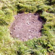
King's Park,cup & ring mark
8 km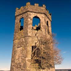
Gartincaber Tower
6.3 km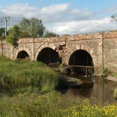
Kippen, Bridge
3.9 km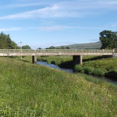
Bridge of Frew
4 km
Netherton Bridge
6.1 km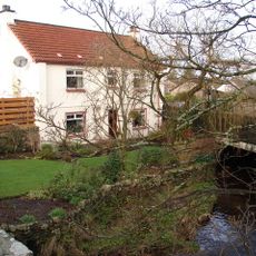
Gargunnock, George Place, Burnside Cottage
137 m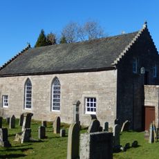
Gargunnock, Parish Church
273 m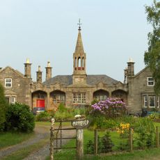
Blairdrummond School
3.8 km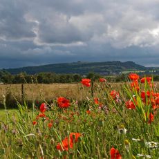
Gillies Hill
6.9 km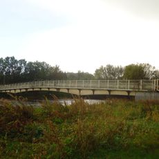
Stirling, pipe and pedestrian bridge across River Forth
7.2 kmVisited this place? Tap the stars to rate it and share your experience / photos with the community! Try now! You can cancel it anytime.
Discover hidden gems everywhere you go!
From secret cafés to breathtaking viewpoints, skip the crowded tourist spots and find places that match your style. Our app makes it easy with voice search, smart filtering, route optimization, and insider tips from travelers worldwide. Download now for the complete mobile experience.

A unique approach to discovering new places❞
— Le Figaro
All the places worth exploring❞
— France Info
A tailor-made excursion in just a few clicks❞
— 20 Minutes