Enable Location

We need your location to show you interesting places around you

Discover nearby places

Find interesting locations and hidden gems around you

Precise directions

Get accurate directions and distances to places

Your location is never shared with other users. It's only used when you tap the location button.

Gargunnock Hills

Log in to your account

Start exploring — it's free

Trusted by 61,475 travelers worldwide

Continue with Google
Continue with Apple
or

We will send you a code to connect

By continuing, you accept our Terms and Conditions and our Privacy Policy

Check your inbox

We've sent a pincode in your inbox. Please enter the code below.

Gargunnock Hills

Gargunnock Hills, Hill chain in Stirling, Scotland.

Description

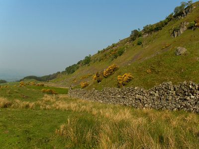
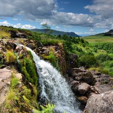
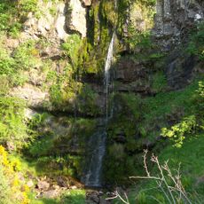
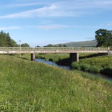
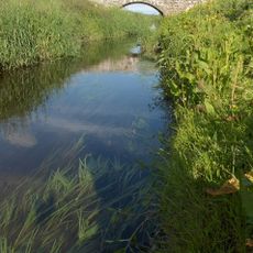
Gargunnock Hills is a chain of hills in Stirling with steep slopes on the north side and its highest point at Carleatheran. The range features several water courses including Earlsburn Reservoir, Mary Glyn's Burn, and the notable Downie's Loup waterfall that flow through the terrain.

History

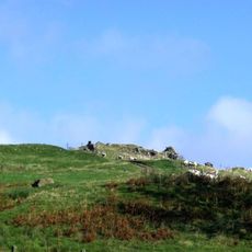
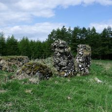
The hills formed from volcanic rocks of the Carboniferous period with resistant basaltic formations that have shaped the landscape through natural erosion over time. These geological structures create a natural boundary in the region and continue to influence how water and weather pattern the terrain.

Culture

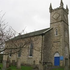
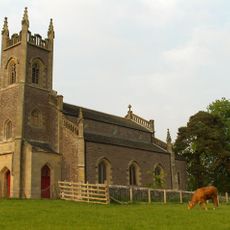
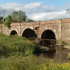
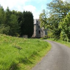
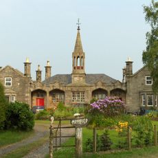
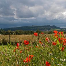
The villages of Gargunnock and Kippen below the hills remain working agricultural communities where farming shapes daily life and the land itself. You can see pastures and fields that form the base of village life, with local gathering places in the village centers.

Practical

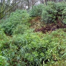
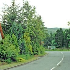
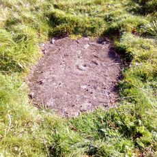
Several walking paths cross the hills and connect different areas, allowing visitors to explore the waterfalls and water features throughout the terrain. Most trails are accessible but require sturdy footwear, and wet conditions can make sections slippery and challenging to navigate.

Did you know?

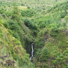
The northern face forms a natural escarpment rising roughly 300 meters above the River Forth glen, creating a striking geographical boundary in the landscape. This cliff formed over millions of years through erosion and offers visitors a dramatic view down toward the lowlands below.

Location
GPS coordinates
56.09600,-4.11100
Latest update
December 14, 2025 17:44

AroundUs brings together thousands of curated places, local tips, and hidden gems, enriched daily by 60,000 contributors worldwide. Discover all places nearby (Stirling).

« Gargunnock Hills - Hill chain in Stirling, Scotland » is provided by Around Us (aroundus.com). Images and texts are derived from Wikimedia project under a Creative Commons license. You are allowed to copy, distribute, and modify copies of this page, under the conditions set by the license, as long as this note is clearly visible.

Discover hidden gems everywhere you go!

From secret cafés to breathtaking viewpoints, skip the crowded tourist spots and find places that match your style. Our app makes it easy with voice search, smart filtering, route optimization, and insider tips from travelers worldwide. Download now for the complete mobile experience.

Around Us App Screenshot

A unique approach to discovering new places

Le Figaro

All the places worth exploring

France Info

A tailor-made excursion in just a few clicks

20 Minutes

Around Us
Travel Guide & Maps
Download

Send to your phone

QR Code
1

Open the camera app on your mobile.

2

Point at the QR code with your camera. A notification will appear.

3

Tap the notification to open the link.