
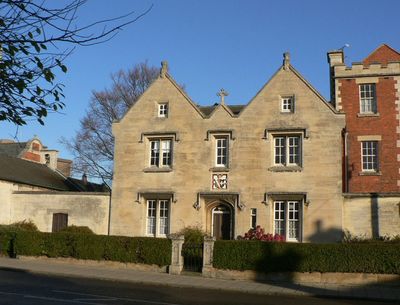
40 Northgate, school building in Sleaford, Lincolnshire, United Kingdom
Location: Sleaford
Part of: Carre's Grammar School
GPS coordinates: 53.00195,-0.41059
Latest update: March 7, 2025 14:24
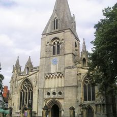
St Denys' Church, Sleaford
273 m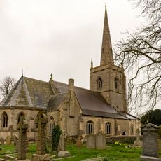
St Botolph's Church
2.1 km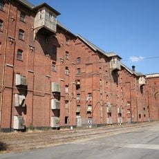
Bass Maltings, Sleaford
1.1 km
Sleaford Castle
650 m
South Rauceby Hall
3.9 km
Manor House
166 m
Westholme House
352 m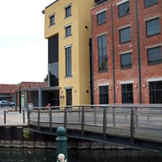
The National Centre for Craft & Design
422 m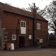
Cogglesford Mill
700 m
The Packhorse Inn
249 m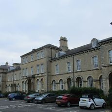
Lafford Terrace
404 m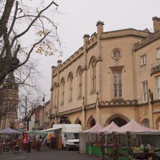
Town Hall (Sessions House)
275 m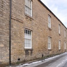
Playhouse, Sleaford
351 m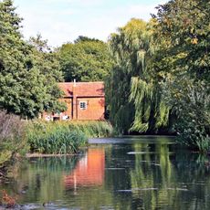
Cogglesford Watermill
700 m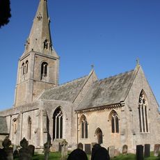
Church of St Andrew
2.6 km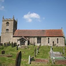
Church of St Denys
3.1 km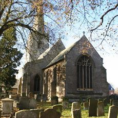
Parish Church of St Denys, Silk Willoughby
3.3 km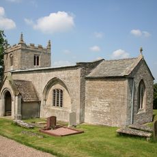
Church of St Mary
2.9 km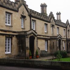
Carre's Hospital. Pump And Sun-dial In The Forecourt And Wall Along Carre Street
332 m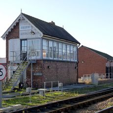
Sleaford East Signal Box
752 m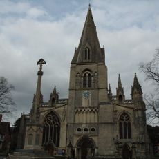
Sleaford, Quarrington and Holdingham War Memorial
275 m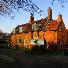
Coggesford Mill Farmhouse
691 m
Mill Buildings To Holdingham Farm
2.8 km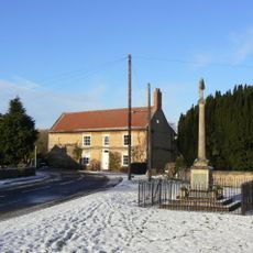
Leasingham War Memorial
2.6 km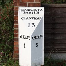
Milepost, Grantham Road, Quarrington, by No. 236
1.8 km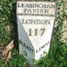
Milepost 3 Metres South Of Hall Farmhouse
2.7 km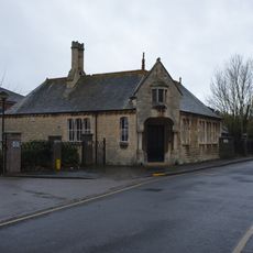
Schoolroom Annexe To Kesteven And Sleaford High School
533 m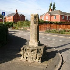
Silk Willoughby village cross
3.4 kmReviews
Visited this place? Tap the stars to rate it and share your experience / photos with the community! Try now! You can cancel it anytime.
Discover hidden gems everywhere you go!
From secret cafés to breathtaking viewpoints, skip the crowded tourist spots and find places that match your style. Our app makes it easy with voice search, smart filtering, route optimization, and insider tips from travelers worldwide. Download now for the complete mobile experience.

A unique approach to discovering new places❞
— Le Figaro
All the places worth exploring❞
— France Info
A tailor-made excursion in just a few clicks❞
— 20 Minutes