
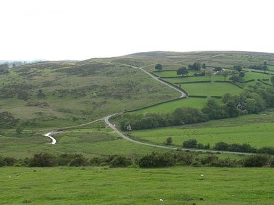
Coxhead Bank Common, hill (336m) in Powys
Location: Powys
Elevation above the sea: 336 m
GPS coordinates: 52.32876,-3.23051
Latest update: March 7, 2025 09:35
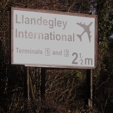
Llandegley International Airport
8.9 km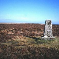
Rhos Fawr
7.2 km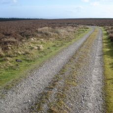
Black Mixen
7.3 km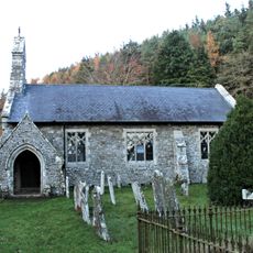
St Anno's Church
7.6 km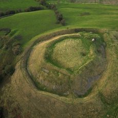
Tinboeth Castle
8.5 km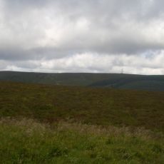
Bache Hill
8.8 km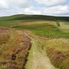
Beacon Hill
6.2 km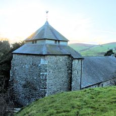
St Cynllo's Church
5.8 km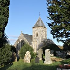
St Padarn's Church
9.9 km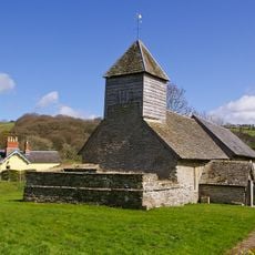
St Mary Magdalene's Church
5 km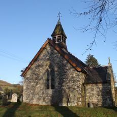
Church of St David
5.8 km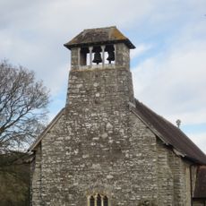
Church Of Michael & All Angels
9.5 km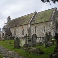
Church of St Mary
9.5 km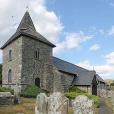
Church of St.Tecla
8.2 km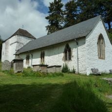
St Mary's Church
9.7 km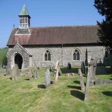
Church of St Padarn
9.5 km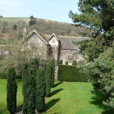
Monaughty House
7.9 km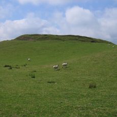
Castell y Blaidd
9.8 km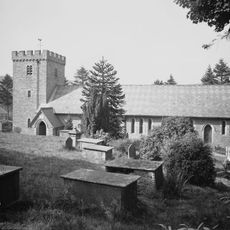
Church of St.Cynllo
5 km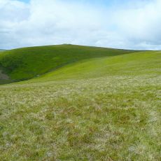
Rhos-crug
3.6 km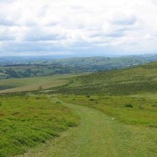
Gors Lydan
7 km
The Post Office (B4356 Sw Side)
5 km
Bleddfa Old Rectory
5 km
Knucklas Railway Viaduct
9.4 km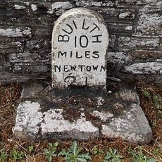
Milestone on A483
9.9 km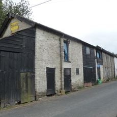
Outbuildings Adjoining Post Office (B4356)
5 km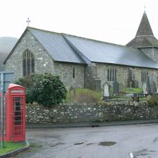
Telephone Call-Box to Ne.of The Parish Church, A44 (W.Side) Llandegley
8.2 km
Llangunllo War Memorial
5 kmReviews
Visited this place? Tap the stars to rate it and share your experience / photos with the community! Try now! You can cancel it anytime.
Discover hidden gems everywhere you go!
From secret cafés to breathtaking viewpoints, skip the crowded tourist spots and find places that match your style. Our app makes it easy with voice search, smart filtering, route optimization, and insider tips from travelers worldwide. Download now for the complete mobile experience.

A unique approach to discovering new places❞
— Le Figaro
All the places worth exploring❞
— France Info
A tailor-made excursion in just a few clicks❞
— 20 Minutes