
The Carlton Tavern, Grade II listed public house in Handbridge, Chester, Cheshire West and Chester, Cheshire, CH4
Location: Cheshire West and Chester
Inception: 1920s
GPS coordinates: 53.18298,-2.88476
Latest update: March 4, 2025 06:13

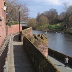
Chester city walls
463 m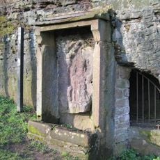
Minerva's Shrine, Chester
339 m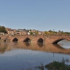
Old Dee Bridge
386 m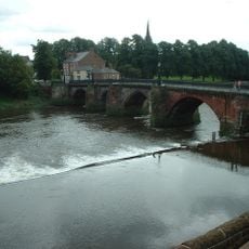
Chester Weir
415 m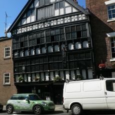
Bear and Billet
491 m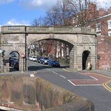
Bridgegate
470 m
Capital House, Chester
388 m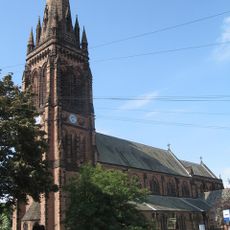
St Mary's Church, Handbridge
276 m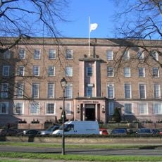
County Hall, Chester
526 m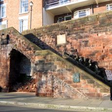
Recorder's Steps
514 m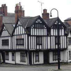
Ye Olde Edgar
517 m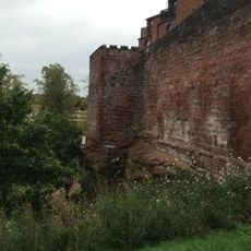
Barnaby's Tower
546 m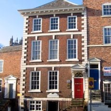
Shipgate House
533 m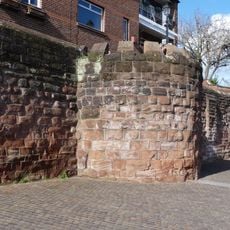
Unnamed drum tower 50 metres east of the Bridgegate
462 m
3, Bridge Place
503 m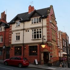
Cross Keys Public House and raised forecourt
515 m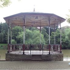
Chester Bandstand
553 m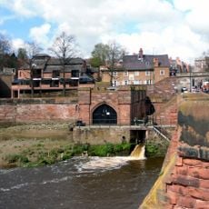
Pumping Station
453 m
19, City Walls
504 m
4, Duke Street
519 m
Number 7, 9 and 11 and railings to forecourt
483 m
Richard House
545 m
1, Bridge Place
509 m
Part of City Walls from Bridgegate to Drum Tower 50 Metres East
468 m
Boys Club
247 m
76, Lower Bridge Street
552 m
Number 5 and rear dwelling and attached wall
490 m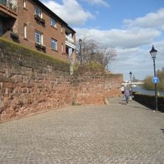
Part Of City Wall From Barnabys Tower To Tower East Of Bridgegate
496 mReviews
Visited this place? Tap the stars to rate it and share your experience / photos with the community! Try now! You can cancel it anytime.
Discover hidden gems everywhere you go!
From secret cafés to breathtaking viewpoints, skip the crowded tourist spots and find places that match your style. Our app makes it easy with voice search, smart filtering, route optimization, and insider tips from travelers worldwide. Download now for the complete mobile experience.

A unique approach to discovering new places❞
— Le Figaro
All the places worth exploring❞
— France Info
A tailor-made excursion in just a few clicks❞
— 20 Minutes