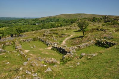
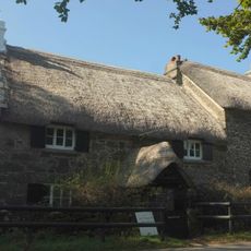
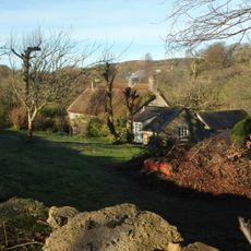
Hound Tor Deserted Medieval Village, Medieval village ruins near Manaton, England
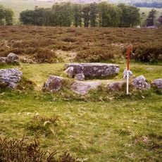
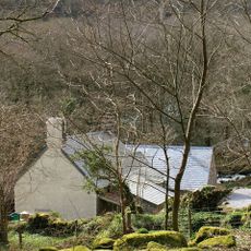
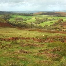
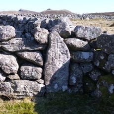
Hound Tor is a deserted medieval village with the ruins of farmhouses on the eastern edge of Dartmoor. The remains show three distinct farms with stone buildings, each containing both residential and livestock areas.
Farmers settled here in the 13th century and abandoned the site in the early 14th century. Archaeologists uncovered these layers in the 1960s through systematic excavations.
The layout of the houses shows how medieval farmers lived and worked here. You can still see how living spaces and animal shelters stood side by side, and how people organized their daily routines.
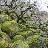
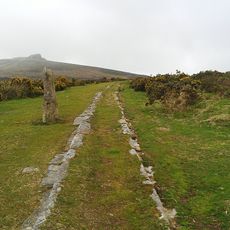
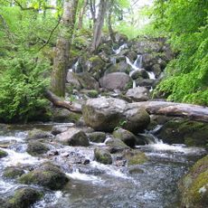
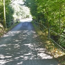
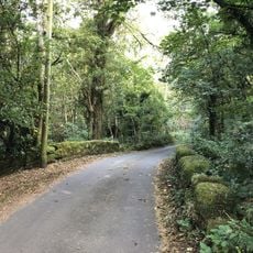
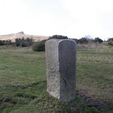
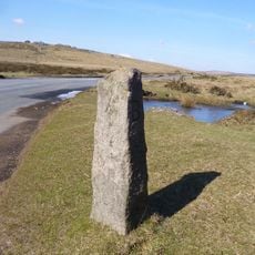
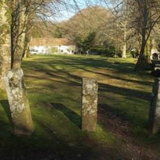
The path to the village runs about half a mile from a car park, with a steep climb over Hound Tor. The ground is uneven and often windy, so wear sturdy shoes and dress for changeable weather.
Scientists studied ancient peat layers around the ruins and found evidence of changes in vegetation. This information reveals that cereal farming in this region declined during the 14th century.
Location: Manaton
Part of: Prehistoric and medieval settlements and their field systems at Hound Tor
Website: https://english-heritage.org.uk/visit/places/hound-tor-deserted-medieval-village
GPS coordinates: 50.59500,-3.77278
Latest update: December 6, 2025 19:08
Devon combines historical sites and natural landscapes across a region in southwest England. The area extends from moorlands in Dartmoor National Park to cliffs along the Bristol Channel and English Channel coasts. Visitors find Norman castle ruins like Totnes Castle and Okehampton Castle, Georgian...
Jay's Grave
1.8 km
Haytor Granite Tramway
1.1 km
Becky Falls
2 km
Church of Saint Pancras, Widecombe-in-the-Moor
3.4 km
Ring cairn south west of Hound Tor, 215m east of East Lodge
524 m
Church of St Winifrid
2.6 km
Base Of Former Village Cross, About 10 Metres South Of Church House
3.4 km
The Old Inn
3.4 km
Rugglestone Inn
3.4 km
Venton Bridge
3.4 km
Clapper Bridge On The Road From Widecombe Village To Natsworthy, About 130 Metres North East Of Wooder Manor
2.7 km
Foxworthy Mill House And Mill
3.4 km
Beckaford Bridge
1.6 km
Churchyard Cross Approximately 17 Metres South West Of Church Of St. Winifrid
2.5 km
Manaton War Memorial
2.5 km
Direction Post On South East Side Of Haytor Down, On North West Side Of The Road About 60 Metres North East Of The Turning To Haytor Vale
2.6 km
Cross About 5 Metres South Of South Transept Of St Pancras Church
3.4 km
Hedge Barton Farmhouse
1.3 km
Gate Piers And Quadrant Walls About 15 Metres West Of The Vicarage, Together With Mounting Block 1 Metre South West Of The South Pier
3.5 km
Stentifords Cross, About 70 Metres South East Of Hemsworthy Gate Crossroads
2.7 km
Swallerton Gate
828 m
Mill Farmhouse
2.1 km
Direction Post At North East Side Of Hemsworthy Gate Crossroads
2.7 km
Half Moon House
2.6 km
Southcott Farmhouse
1.6 km
Earthwork in Houndtor Wood
2.9 km
Middle Bonehill Farmhouse, Including Garden Wall In Front Of Right Hand Side Of House
2.4 km
Milestone, 25m N of Stouts
2.5 kmVisited this place? Tap the stars to rate it and share your experience / photos with the community! Try now! You can cancel it anytime.
Discover hidden gems everywhere you go!
From secret cafés to breathtaking viewpoints, skip the crowded tourist spots and find places that match your style. Our app makes it easy with voice search, smart filtering, route optimization, and insider tips from travelers worldwide. Download now for the complete mobile experience.
A unique approach to discovering new places❞
— Le Figaro
All the places worth exploring❞
— France Info
A tailor-made excursion in just a few clicks❞
— 20 Minutes