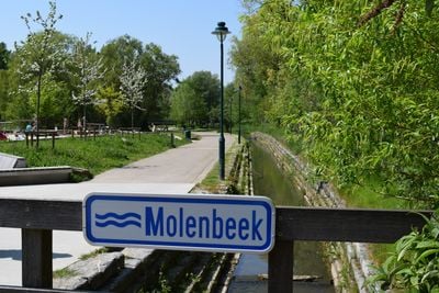
Molenbeek-Pontbeek, Brook in western Brussels, Belgium
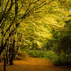
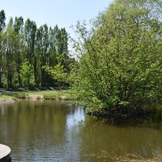
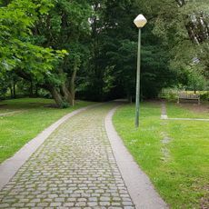
The Molenbeek-Pontbeek is a waterway that flows through several municipalities in western Brussels, including Dilbeek, Berchem-Sainte-Agathe, Jette, and the City of Brussels. The brook winds through different neighborhoods, forming a natural drainage route that connects various parts of the region.
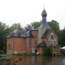
The brook developed as a natural drainage channel and was early used to power mills that shaped the region's economy. Over time, the area transformed from rural and agricultural to urban, yet the waterway remained a constant part of the landscape.
The name comes from Dutch, with 'molen' meaning mill and 'beek' meaning brook, reflecting the waterway's role in powering local industry. Along its course, several mills once stood and worked, showing how communities relied on flowing water for their everyday work.
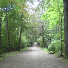
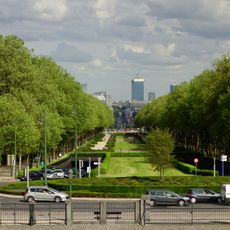
The waterway can be approached from several public paths and roads where you can see its flow and green banks. Walking or cycling along its course gives you access to the neighborhoods it passes through, making it easy to explore the different areas it connects.
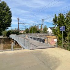
The name Molenbeek-Pontbeek includes Pontbeek, referring to an old bridge that once crossed this waterway. This second part of the name is less commonly known today, but it marks the historical importance of crossing points for connecting communities on either side.
The community of curious travelers
AroundUs brings together thousands of curated places, local tips, and hidden gems, enriched daily by 60,000 contributors worldwide.