Le Corbusier Walk, Coastal footpath in Roquebrune-Cap-Martin, France
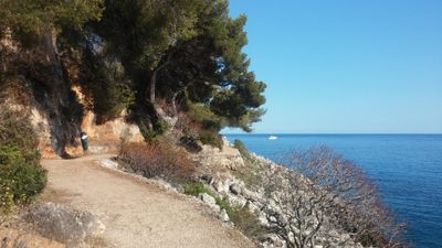
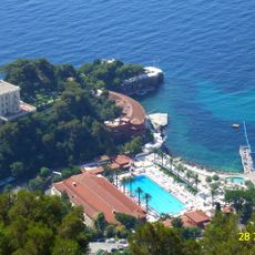
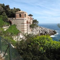
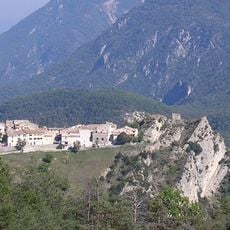
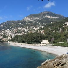
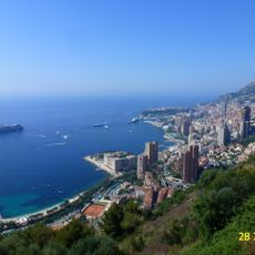
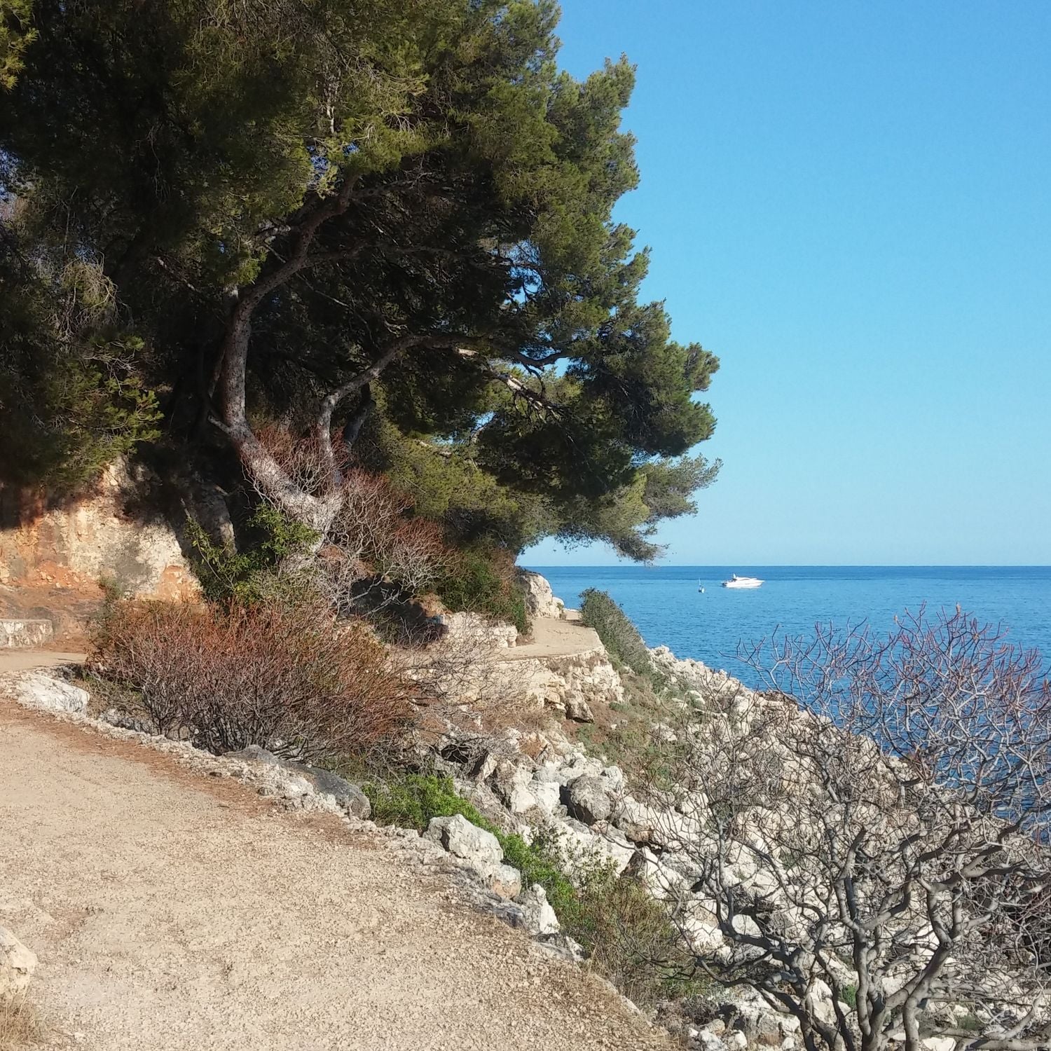
This footpath runs along the Mediterranean coast between Roquebrune-Cap-Martin and Monaco over rocky terrain with sea views. The route alternates between level sections and stairs as it winds along the shoreline.
The path is named after architect Le Corbusier, who spent time in this coastal area and died while swimming nearby in 1965. His connection to the location gave the route its name.
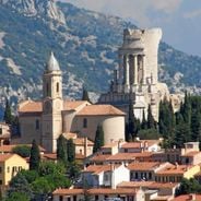
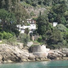
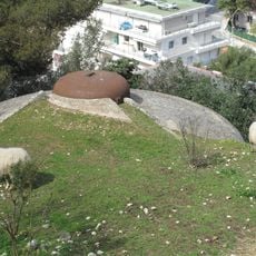
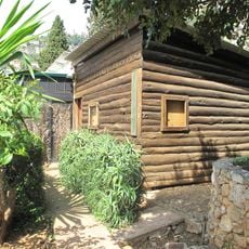
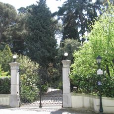
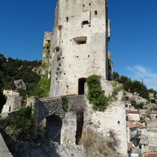
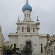
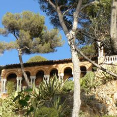
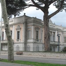
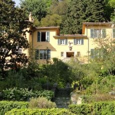
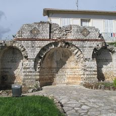
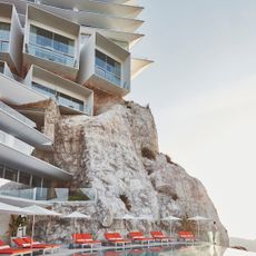
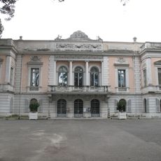
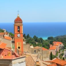
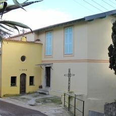
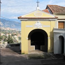
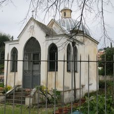
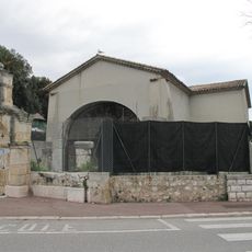
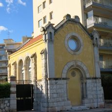
Several villas and buildings line the route, showing how the French Riviera changed over time. Visitors can observe different architectural styles standing together and reflecting the area's development.
The path has varying difficulty levels with flat sections and steep stairs, so visitors should wear good footwear. It is wise to bring sturdy shoes and water, especially in warm weather.
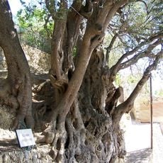
Wild Mediterranean plants grow alongside the path, creating an interesting contrast with human-made structures. This blend of nature and construction makes the walk particularly interesting.
The community of curious travelers
AroundUs brings together thousands of curated places, local tips, and hidden gems, enriched daily by 60,000 contributors worldwide.