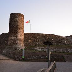
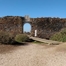
Rota Vicentina, Long-distance trail network in southwestern Portugal.
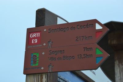
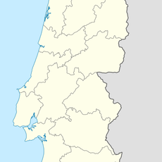
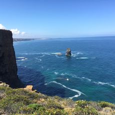
The Rota Vicentina covers roughly 465 miles (750 kilometers) of marked trails across southwestern Portugal, including coastal and inland routes through Alentejo and Algarve regions.
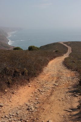
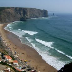
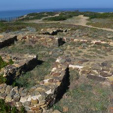
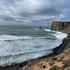
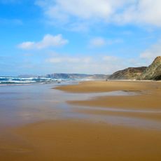
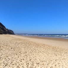
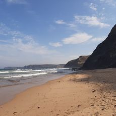
The Fisherman's Trail follows ancient paths used by local fishermen for generations, connecting coastal villages and lighthouse stations along traditional maritime routes established centuries ago.
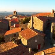
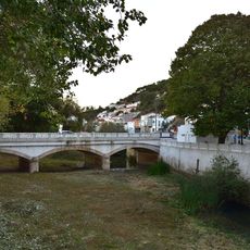
Small fishing towns along the route, such as Zambujeira do Mar and Vila do Bispo, maintain age-old customs and festivals celebrating maritime heritage and traditional seafaring communities.
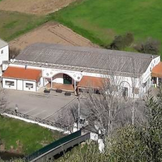
Booking accommodation well in advance during summer months is essential, with options ranging from campsites at around 11 dollars (10 euros) to guesthouses at approximately 98 dollars (90 euros) per night.
The network includes two main long-distance routes—the coastal Fisherman's Trail and the inland Historical Way—plus numerous circular day hikes designed for shorter excursions through diverse landscapes.
GPS coordinates: 37.28298,-8.85817
Latest update: December 8, 2025 21:01
Portugal extends well beyond its main tourist centers. Away from the established routes lie medieval villages like Monsanto, where granite houses wedge themselves between massive boulders, or the fortified hilltop town of Marvão overlooking the Spanish border. Peneda-Gerês National Park spreads across forests, rivers and centuries-old settlements connected by hiking trails. The coastline varies considerably: Cabo Espichel with its cliffs and remote pilgrimage site, the rock formations at Ponta da Piedade near Lagos, the striped wooden houses of Costa Nova facing the ocean. The Azores offer crater lakes such as Lagoa das Sete Cidades, volcanic caves like Gruta das Torres and thermal springs at Caldeira Velha. Madeira presents the coastal village of Paul do Mar and the plateau of Fajã dos Padres, accessible only by cable car. The list includes religious structures such as Alcobaça Monastery, the bone chapel in Évora and Convento dos Capuchos in the forests near Sintra. Historic fortifications like Almourol Castle on a Tagus island or the fortress at Sagres on the continent's southwestern tip complete the picture.
Praia da Arrifana
1.2 km
Castle of Aljezur
6 km
Ribat of Arrifana
4.4 km
Praia do Canal
1.4 km
Fort of Arrifana
2 km
Praia de Vale Figueira
1.4 km
Praia do Penedo
891 m
Ponte de Aljezur
6.1 km
Museo Antoniano
6.2 km
Fonte das Mentiras
6.1 km
Vale Figueiras Beach
4.1 km
Mercado Municipal de Aljezur
6.2 km
Casa Museu Pintor José Cercas
6.2 km
Praia da Fateixa
5.8 km
Praia de Vale Figueira
3.5 km
Costa Sudoeste
2.8 km
Praia da Pedra da Agulha
1 km
Ponta da Atalaia
4.6 km
Praia de Coelha
5.7 km
Praia do Medo da Fonte Santa
4.7 km
Marambaia
6.1 km
Pedra da Agulha
942 m
Scenic viewpoint, bench
4.8 km
Fortaleza de Arrifana
2.1 km
Scenic viewpoint
3 km
Scenic viewpoint
1.7 km
Scenic viewpoint
4.6 km
Scenic viewpoint
1.6 kmVisited this place? Tap the stars to rate it and share your experience / photos with the community! Try now! You can cancel it anytime.
Discover hidden gems everywhere you go!
From secret cafés to breathtaking viewpoints, skip the crowded tourist spots and find places that match your style. Our app makes it easy with voice search, smart filtering, route optimization, and insider tips from travelers worldwide. Download now for the complete mobile experience.
A unique approach to discovering new places❞
— Le Figaro
All the places worth exploring❞
— France Info
A tailor-made excursion in just a few clicks❞
— 20 Minutes