
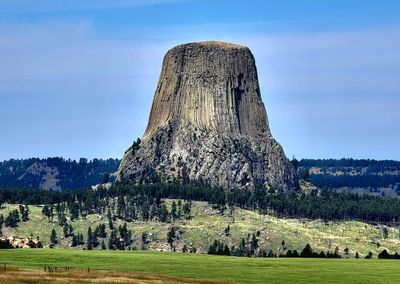
Devils Tower Information Marker
Location: Crook County
Address: 476 WY-24, Devils Tower, WY 82714
Phone: +(307)4675737
Website: http://devilstowerview.com/restaurant.htm
GPS coordinates: 44.56014,-104.68606
Latest update: March 16, 2025 07:59
Spearfish Canyon
67 km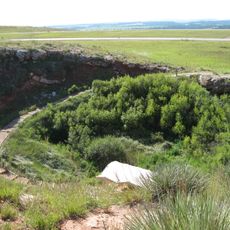
Vore Buffalo Jump
42.1 km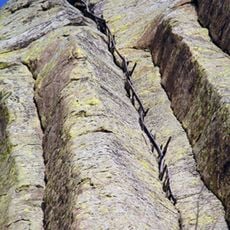
Tower Ladder
4 km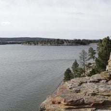
Keyhole State Park
27.1 km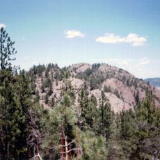
Inyan Kara Mountain
47 km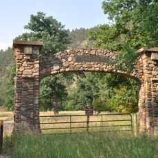
Ranch A
46 km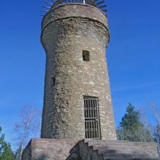
Mount Theodore Roosevelt Monument
75.8 km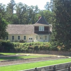
D.C. Booth Historic National Fish Hatchery
66.2 km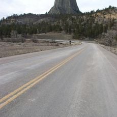
Wyoming Highway 110
3.8 km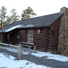
Old Headquarters Area Historic District
4.3 km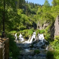
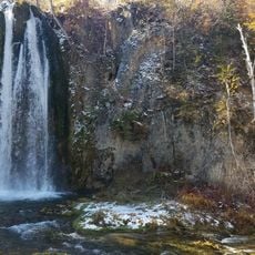
Roughlock Falls Nature Area
63.4 km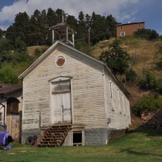
St. Lawrence O'Toole Catholic Church
76.1 km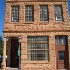
Sundance State Bank Building
29.8 km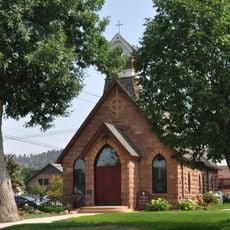
Episcopal Church of All Angels
65.9 km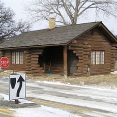
Entrance Station
3.5 km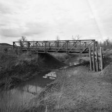
DXN Bridge
49.5 km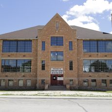
Sundance School
29.9 km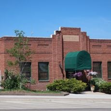
Gillette City Hall
66 km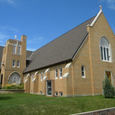
First Congregational United Church of Christ
67.3 km
James A. Corbin House
66.2 km
Webb S. Knight House
66.3 km
Thomas Haskins Gay House
67.4 km
Belle Fourche Commercial Historic District
67.2 km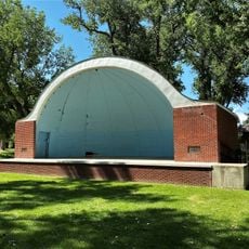
Belle Fourche Band Shell
67.4 km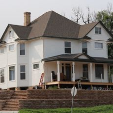
Arthur Hewes House
65.3 km
Termesphere Gallery
69.3 km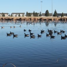
Gillette Fishing Lake
71.7 km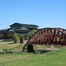
Gillette College Pedestrian Bridge
73.3 kmReviews
Visited this place? Tap the stars to rate it and share your experience / photos with the community! Try now! You can cancel it anytime.
Discover hidden gems everywhere you go!
From secret cafés to breathtaking viewpoints, skip the crowded tourist spots and find places that match your style. Our app makes it easy with voice search, smart filtering, route optimization, and insider tips from travelers worldwide. Download now for the complete mobile experience.

A unique approach to discovering new places❞
— Le Figaro
All the places worth exploring❞
— France Info
A tailor-made excursion in just a few clicks❞
— 20 Minutes