Chest opened
+${chestReward.xp} XP
Explorer
NOUVEAU ×${chestReward.collectible.quantity}
tapez pour fermer

See the monuments around you in AR Open chests in the app

Around Us is built for your phone — point your camera at the streets and discover the monuments and places around you in augmented reality. Around Us is built for your phone — chests unlock when you walk, explore and capture nearby places.

Enable Location

We need your location to show you interesting places around you

Discover nearby places

Find interesting locations and hidden gems around you

Precise directions

Get accurate directions and distances to places

Your location is never shared with other users. It's only used when you tap the location button.

Smith Mine Disaster Historical Marker

Log in to your account

Start exploring — it's free

Trusted by 85,804 travelers worldwide

Continue with Google
Continue with Apple
or

We will send you a code to connect

By continuing, you accept our Terms and Conditions and our Privacy Policy

Check your inbox

We've sent a pincode in your inbox. Please enter the code below.

Smith Mine Disaster Historical Marker
Discussion Reviews 1 Photos 1 Collection
7 Popularity

Smith Mine Disaster Historical Marker

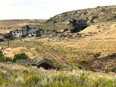
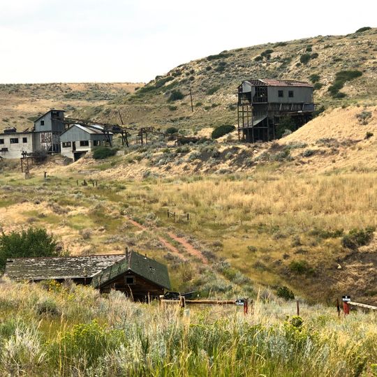
Smith Mine Disaster Historical Marker is a commemorative site in Carbon County that honors victims of a mining tragedy. The marker provides visitors with information about this significant event in the region's coal mining past.

This marker commemorates a coal mining disaster that claimed multiple lives and shocked the region. The tragedy became a defining moment in the history of Wyoming's mining industry.

The marker is located at an accessible spot in Carbon County where visitors can stop to read the placard. It is best visited during daylight hours so you can clearly see the text and details displayed.

The community of curious travelers

AroundUs brings together thousands of curated places, local tips, and hidden gems, enriched daily by 60,000 contributors worldwide.
Start exploring
Location
Address
Belfry, MT 59008, USA
Opening Hours
Dimanche: 00:00 -
GPS coordinates
45.15689,-109.18404
Latest update
August 30, 2026 23:36
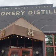
Unusual Montana: natural sites, historic landmarks, and craft distilleries

Montana hosts natural and historic sites ranging from the limestone gorges of Bighorn Canyon, where red cliffs rise over 300 meters, to the Makoshika badlands dotted with dinosaur fossils. Visitors explore the boiling River near Gardiner, where thermal springs blend with the cold waters of the...

Around this place
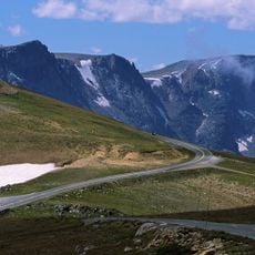
Beartooth Highway
United States of America

Beartooth Highway

18.9 mi
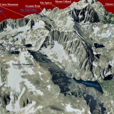
Granite Peak
United States of America

Granite Peak

30.8 mi
Heart Mountain
United States of America

Heart Mountain

34.1 mi
Grasshopper Glacier
United States of America

Grasshopper Glacier

34.2 mi
Mount Wood
United States of America

Mount Wood

31.7 mi
Beartooth Basin Summer Ski Area
United States of America

Beartooth Basin Summer Ski Area

17.6 mi
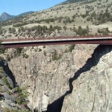
Sunlight Creek Bridge
United States of America

Sunlight Creek Bridge

29.2 mi
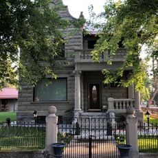
Michael Jacobs House
United States of America

Michael Jacobs House

33.6 mi
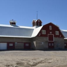
Gebo Barn
United States of America

Gebo Barn

19.2 mi
United States of America

Ralston Community Clubhouse

33.4 mi
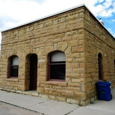
Bearcreek Bank
United States of America

Bearcreek Bank

1.3 mi
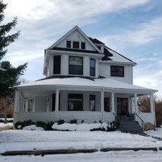
Oliver H. Hovda House
United States of America

Oliver H. Hovda House

28.1 mi
Forsman House
United States of America

Forsman House

16.4 mi
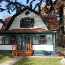
Corey House
United States of America

Corey House

16.6 mi
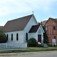
Calvary Episcopal Church
United States of America

Calvary Episcopal Church

3.8 mi
Clay Butte Lookout
United States of America

Clay Butte Lookout

26.1 mi
Hester E. Suydam Boarding House
United States of America

Hester E. Suydam Boarding House

21.1 mi
Glidden House
United States of America

Glidden House

16.6 mi
Stoltz House
United States of America

Stoltz House

35.2 mi
Joliet Bridge
United States of America

Joliet Bridge

24.8 mi
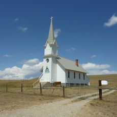
St. Olaf Lutheran Church
United States of America

St. Olaf Lutheran Church

18.8 mi
United States of America

Fromberg Opera House

21.2 mi
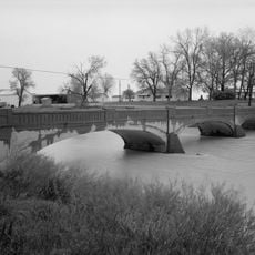
Fromberg Concrete Arch Bridge
United States of America

Fromberg Concrete Arch Bridge

21.5 mi
Raymond Hough House
United States of America

Raymond Hough House

16.1 mi
Samuel Greenblatt House
United States of America

Samuel Greenblatt House

21 mi
Rock Creek
United States of America

Rock Creek

31.1 mi
Immanuel Lutheran Church (Absarokee)
United States of America

Immanuel Lutheran Church (Absarokee)

27.9 mi
St. James Lutheran Church (Columbus, Montana)
United States of America

St. James Lutheran Church (Columbus, Montana)

33.5 mi
Show the full map
Reviews
Share your experience

No review yet

Discussions
Start a discussion...

No discussion yet

« Smith Mine Disaster Historical Marker » is provided by Around Us (aroundus.com). Images and texts are derived from Wikimedia project under a Creative Commons license. You are allowed to copy, distribute, and modify copies of this page, under the conditions set by the license, as long as this note is clearly visible.

Discover hidden gems everywhere you go!

From secret cafés to breathtaking viewpoints, skip the crowded tourist spots and find places that match your style. Our app makes it easy with voice search, smart filtering, route optimization, and insider tips from travelers worldwide. Download now for the complete mobile experience.
Around Us App Screenshot

A unique approach to discovering new places

Le Figaro

All the places worth exploring

France Info

A tailor-made excursion in just a few clicks

20 Minutes

Around Us
Travel Guide & Maps
Download

Send to your phone

QR Code
1

Open the camera app on your mobile.

2

Point at the QR code with your camera. A notification will appear.

3

Tap the notification to open the link.