Driving Range
Location: بلدية السلي
Location: محافظة الرياض
GPS coordinates: 24.57839,46.85834
Latest update: November 11, 2025 04:26
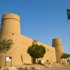
Masmak Fort
15.8 km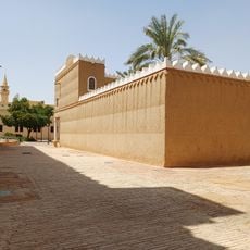
Murabba Palace
16.9 km
The National Museum
16.8 km
جامع الراجحي
13.6 km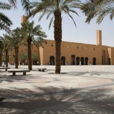
Imam Turki bin Abdullah Mosque
16 km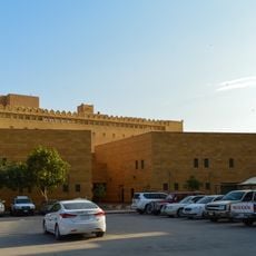
King Abdul Aziz Historical Centre
16.8 km
Tahliah Street
16.2 km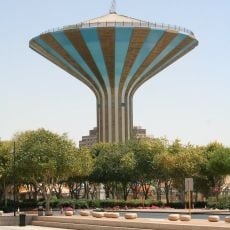
Riyadh Water Tower
16.5 km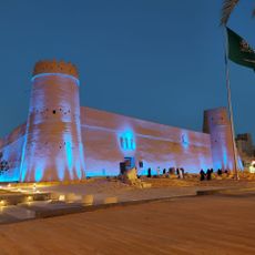
Al Masmak Palace Museum
15.8 km
King Abdullah Park
15.7 km
متحف العملات
16.3 km
حديقة السويدي
16.7 km
Al Khalidiya Park, Riyadh
10.7 km
مسجد الأمير منصور
16.2 km
Riyadh Zoo
16.4 km
ممشى اللؤلؤة
10.1 km
Sep
3 km
Bazy Trading
15 km
Riyadh batha
2.6 km
Riyadh sipchem
1.9 km
Metal workshop
13.6 km
Aljajirah
13.1 km
Abana workshop
4.9 km
Areej Color press
12.7 km
My Accommodation
3.7 km
Malaz Zoo
16.4 km
Memorial
14.9 km
دروازة الثميري
15.6 kmReviews
Visited this place? Tap the stars to rate it and share your experience / photos with the community! Try now! You can cancel it anytime.
Discover hidden gems everywhere you go!
From secret cafés to breathtaking viewpoints, skip the crowded tourist spots and find places that match your style. Our app makes it easy with voice search, smart filtering, route optimization, and insider tips from travelers worldwide. Download now for the complete mobile experience.

A unique approach to discovering new places❞
— Le Figaro
All the places worth exploring❞
— France Info
A tailor-made excursion in just a few clicks❞
— 20 Minutes