Mountain View Golf Club
Location: Highland Township
GPS coordinates: 39.80194,-77.35804
Latest update: November 19, 2025 02:21
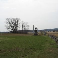
High-water mark of the Confederacy
10.5 km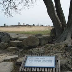
The Angle
10.5 km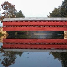
Sachs Covered Bridge
7 km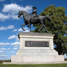
McPherson Ridge
10.2 km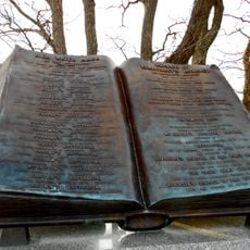
High Water Mark of the Rebellion Monument
10.5 km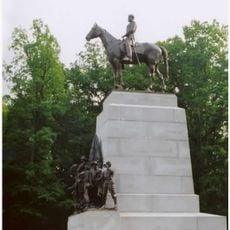
Virginia Monument
9.3 km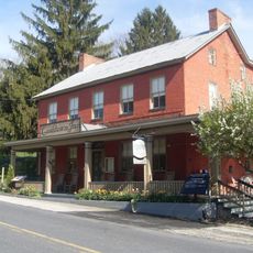
Cashtown Inn
9.2 km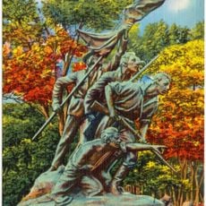
North Carolina Monument
9.6 km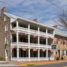
Fairfield Inn
2.2 km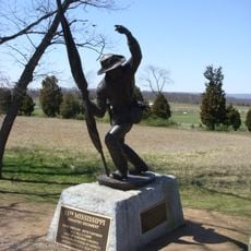
11th Mississippi Infantry Monument
9.7 km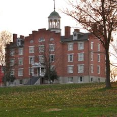
Schmucker Hall
10.2 km
Pitzer Woods
8.7 km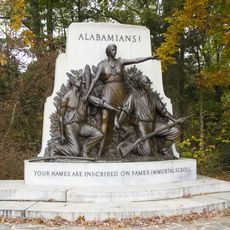
Alabama State Monument
9 km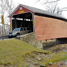
Jacks Mountain Covered Bridge
4.6 km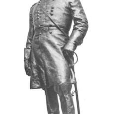
Winfield Scott Hancock
10.5 km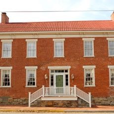
Fairfield Historic District
1.4 km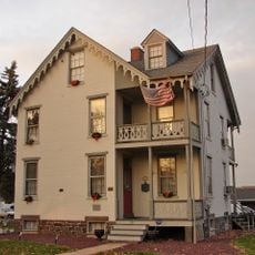
Sheads House
10.5 km
Strawberry Hill Nature Preserve
4.8 km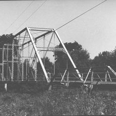
Bridge in Cumberland Township
8 km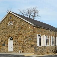
Lower Marsh Creek Presbyterian Church
2.4 km
Mcillian Woods Youth Campground
9.4 km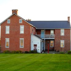
Jacob and Juliana Middlekauff House
8 km
Sachs Covered Bridge
7.7 km
Sachs Covered Bridge
7 km
Battlefield Amphitheater
8.6 km
Statue, Work of art
10.2 km
CS Sharpshooter's position
9.9 km
Scenic viewpoint
9.9 kmReviews
Visited this place? Tap the stars to rate it and share your experience / photos with the community! Try now! You can cancel it anytime.
Discover hidden gems everywhere you go!
From secret cafés to breathtaking viewpoints, skip the crowded tourist spots and find places that match your style. Our app makes it easy with voice search, smart filtering, route optimization, and insider tips from travelers worldwide. Download now for the complete mobile experience.

A unique approach to discovering new places❞
— Le Figaro
All the places worth exploring❞
— France Info
A tailor-made excursion in just a few clicks❞
— 20 Minutes