屯門徑彩虹段
Location: 屯門區 Tuen Mun District
GPS coordinates: 22.39894,113.98353
Latest update: October 25, 2025 22:18
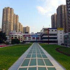
Tuen Mun Town Plaza
959 m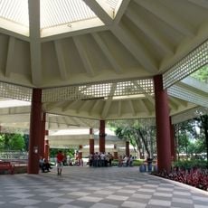
Tuen Mun Park
1.2 km
Trend Plaza
1 km
Tuen Mun Children and Juvenile Home
2.4 km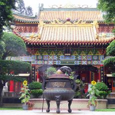
Ching Chung Koon
1.3 km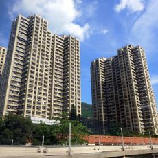
Waldorf Garden
976 m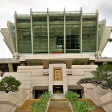
Miu Fat Buddhist Monastery
2.3 km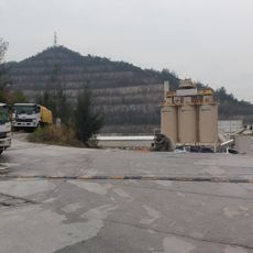
Lam Tei Quarry
2 km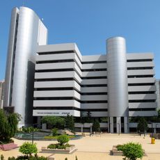
Tuen Mun Government Offices
1.2 km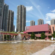
Tuen Mun Town Hall
1 km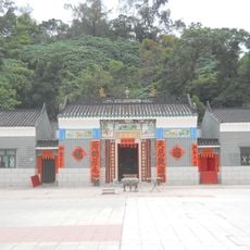
Hau Kok Tin Hau Temple
1.6 km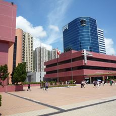
Tuen Mun Public Library
1.1 km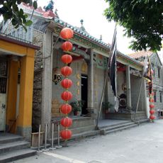
Sam Shing Temple, Sam Shing Hui
1.8 km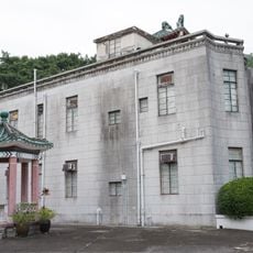
Hoh Fuk Tong Centre
682 m
Filial Park
2.3 km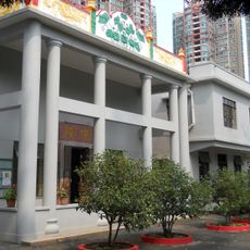
Ching Leung Fat Yuen
1.3 km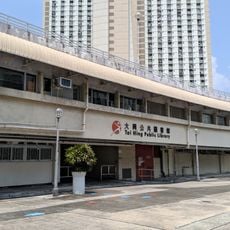
Tai Hing Public Library
1.4 km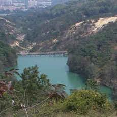
Hung Shui Hang Reservoir
2 km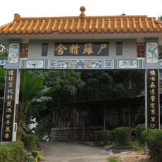
Sze Lo Temple
2.1 km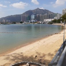
Castle Peak Beach
2.2 km
Pui To Road (South) Rest Garden
1.4 km
The Bed of Heavenly Queen
1.5 km
Iron Man 石
1.3 km
Toucan Rock
1.2 km
Chairman Mao Rock
2 km
Alarm Clock Rock
1 km
Sam Shing Hui Seafood Street
2.2 km
九管石塔
2.2 kmReviews
Visited this place? Tap the stars to rate it and share your experience / photos with the community! Try now! You can cancel it anytime.
Discover hidden gems everywhere you go!
From secret cafés to breathtaking viewpoints, skip the crowded tourist spots and find places that match your style. Our app makes it easy with voice search, smart filtering, route optimization, and insider tips from travelers worldwide. Download now for the complete mobile experience.

A unique approach to discovering new places❞
— Le Figaro
All the places worth exploring❞
— France Info
A tailor-made excursion in just a few clicks❞
— 20 Minutes