
Garatapar waterfall Rawalakot
Location: تحصیل تراڑکھل
Address: Hajira Thrarkel
GPS coordinates: 33.74668,73.81433
Latest update: October 25, 2025 06:09
Panjpeer Rocks
26.9 km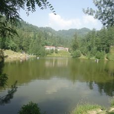
Banjosa Lake
7.1 km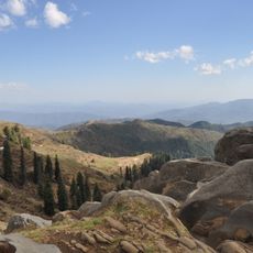
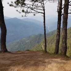
Toli Pir
18.2 km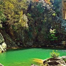
Neela Sandh Waterfall
40.9 km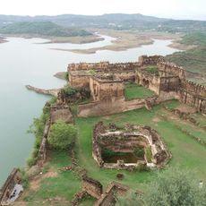
Throchi Fort
35.9 km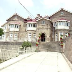
Convent of Jesus and Mary, Murree
43.5 km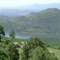
Simly Dam Lake
43.5 km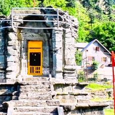
Datta Temple, Bandi Uri
43.7 km
GPO chowk murree
42.7 km
Rahat Kada Guest House
40.8 km
Pindi Point
43.4 km
Kashmir Point
41.9 km
Sozo Adventure Park
38.8 km
Kashmir Point
42.2 km
Salotri
25.1 km
Hiking Track To Kashmir Point
41.3 km
Best dhaba
41.1 km
Lipa Hut
39.8 km
NORTH HILLS
41.7 km
Pir Kanthi 10893 Ft
31.5 km
Simli Dam Viewpoint
42 km
Panjpeer Rocks
26.4 km
Tolipir picnic Place
18.1 km
Ganga Choti 10340 Ft
36.7 km
Bring bun Haveli Kahuta Azad Kashmir
35.6 km
Scenic viewpoint
43.3 km
Scenic viewpoint
42.4 km
Scenic viewpoint
39.3 kmReviews
Visited this place? Tap the stars to rate it and share your experience / photos with the community! Try now! You can cancel it anytime.
Discover hidden gems everywhere you go!
From secret cafés to breathtaking viewpoints, skip the crowded tourist spots and find places that match your style. Our app makes it easy with voice search, smart filtering, route optimization, and insider tips from travelers worldwide. Download now for the complete mobile experience.

A unique approach to discovering new places❞
— Le Figaro
All the places worth exploring❞
— France Info
A tailor-made excursion in just a few clicks❞
— 20 Minutes