NT-SA Border
Location: Ghan
Location: Macdonnell Region
GPS coordinates: -25.99860,133.19678
Latest update: October 20, 2025 08:28
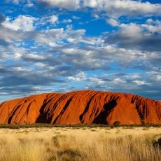
Uluru
229 km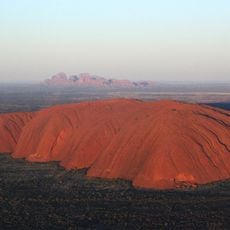
Uluṟu-Kata Tjuṯa National Park
234.3 km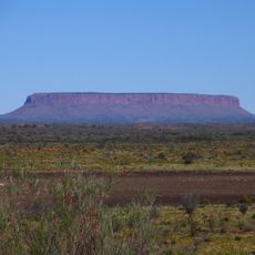
Mount Conner
141.9 km
Australian Overland Telegraph Line
178 km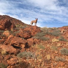
Mount Woodroffe
149.4 km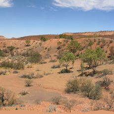
Henbury Meteorites Conservation Reserve
158.9 km
Dalhousie Springs
233.8 km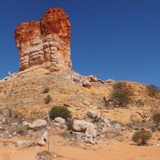
Chambers Pillar
140.1 km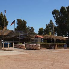
Curtin Springs
164.7 km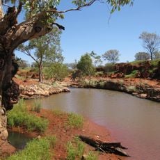
Angas Downs Indigenous Protected Area
142.4 km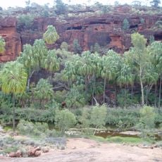
Finke Gorge National Park
208.7 km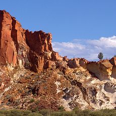
Rainbow Valley Conservation Reserve
190.5 km
Ewaninga rock carvings
233.3 km
Uluṟu-Kata Tjuṯa Cultural Centre
229.9 km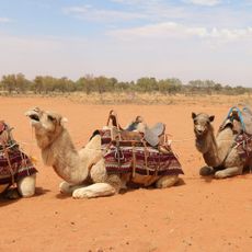
Camels Australia
186.6 km
Palm Valley
222.8 km
Mutitjulu Waterhole
228.8 km
House of Albert Namatjira
233.6 km
Mushroom Rock
190.4 km
Aviary
163.3 km
Cycad Gorge
222.1 km
Palms Bend
220.1 km
Centre of Australia - Lambert Gravitational Centre
115.1 km
Centre of Australia - Median point
195.9 km
World's Oldest Sand Dunes
234 km
Redbank Waterhole
208.3 km
Boggy Hole
209.8 km
Finke Railway Station
145.8 kmReviews
Visited this place? Tap the stars to rate it and share your experience / photos with the community! Try now! You can cancel it anytime.
Discover hidden gems everywhere you go!
From secret cafés to breathtaking viewpoints, skip the crowded tourist spots and find places that match your style. Our app makes it easy with voice search, smart filtering, route optimization, and insider tips from travelers worldwide. Download now for the complete mobile experience.

A unique approach to discovering new places❞
— Le Figaro
All the places worth exploring❞
— France Info
A tailor-made excursion in just a few clicks❞
— 20 Minutes