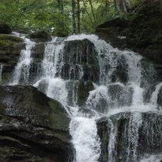
Водоспад Шипіт Верхній
Location: Пилипецька сільська громада
GPS coordinates: 48.64979,23.25829
Latest update: October 26, 2025 01:22
Shypit
982 m
Gymba
2 km
Stoj
5.9 km
Velykyi Verkh
2.1 km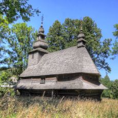
Holy Spirit church in Huklyvyi
7.7 km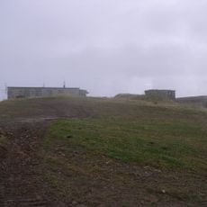
Plai
4.9 km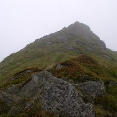
Temnatyk
7.1 km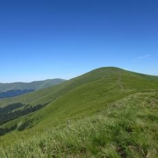
Zhyd-Mahura
4 km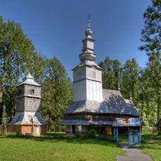
Church of Saint Nicholas, Izky
7.9 km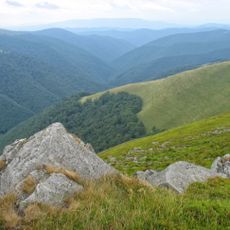
Potik Osa Reserve
7.3 km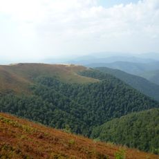
Rosishniy Reserve
7.5 km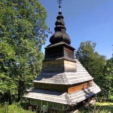
Church of the Presentation of Mary, Roztoka
6.8 km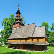
Nativity of Theotokos church in Pylypets
6.3 km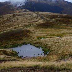
Озеро на полонині Боржава
1.9 km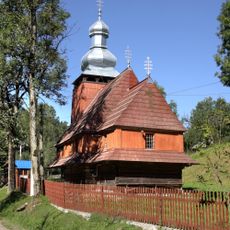
Church of the Presentation of Mary
7.8 km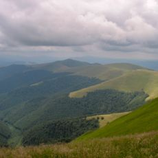
Березниківські праліси
9 km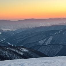
Боржавські праліси
3.6 km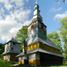
Church of Saint Nicholas, Podobovets
4 km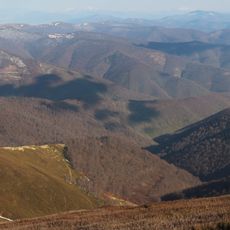
Приборжавський заказник
4.5 km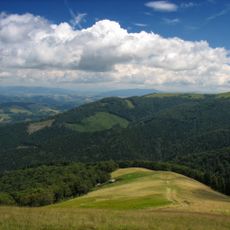
Temnatyk Reserve
8.4 km
Scenic viewpoint
7.6 km
Руїни старої сироварні
5.3 km
Scenic viewpoint
7.1 km
Замовник Потік Оса
6.4 km
Scenic viewpoint
20 m
Rock, scenic viewpoint, rock
8.6 km
Scenic viewpoint
7 km
Scenic viewpoint
1.3 kmReviews
Visited this place? Tap the stars to rate it and share your experience / photos with the community! Try now! You can cancel it anytime.
Discover hidden gems everywhere you go!
From secret cafés to breathtaking viewpoints, skip the crowded tourist spots and find places that match your style. Our app makes it easy with voice search, smart filtering, route optimization, and insider tips from travelers worldwide. Download now for the complete mobile experience.

A unique approach to discovering new places❞
— Le Figaro
All the places worth exploring❞
— France Info
A tailor-made excursion in just a few clicks❞
— 20 Minutes