Скеля під Говерлою
Location: Богданська сільська громада
GPS coordinates: 48.15581,24.50073
Latest update: October 27, 2025 04:37
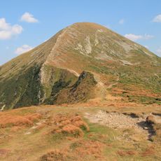
Hoverla
494 m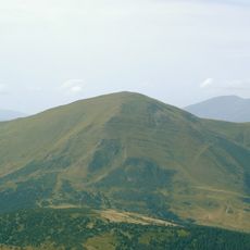
Petros
6.2 km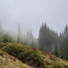
Kukul
7.5 km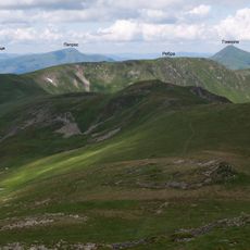
Rebra
6.6 km
Hutyn Tomnatyk
7.5 km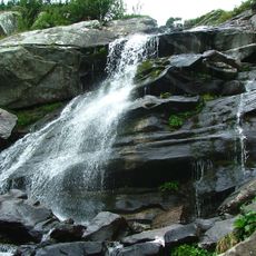
Prutskyi Waterfall
1.5 km
Pozyzewska
2.1 km
Beschermd bergmassief Tsjornohirsky
7.8 km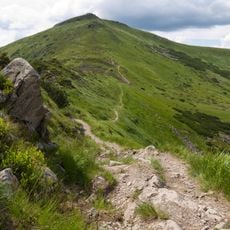
Turkul
4.2 km
Breskul
950 m
Gadzyna
7.1 km
Homul
5.1 km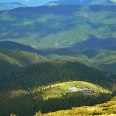
Pozhyzhevska
2.7 km
Petrosul
6.7 km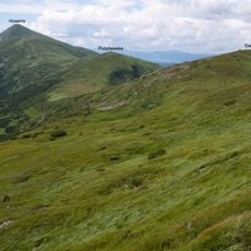
Dancerz
3.2 km
Водоспад
8.1 km
Комин (Каминья)
1.2 km
Scenic viewpoint
7.5 km
Найбільше дерево
3.2 km
Start of route to lake Nesamovyte
4.1 km
Scenic viewpoint
1.3 km
Scenic viewpoint
574 m
Scenic viewpoint
1.4 km
Scenic viewpoint
1.3 km
Scenic viewpoint
3 km
Scenic viewpoint
2.8 km
Scenic viewpoint
7.8 km
Scenic viewpoint
7.7 kmReviews
Visited this place? Tap the stars to rate it and share your experience / photos with the community! Try now! You can cancel it anytime.
Discover hidden gems everywhere you go!
From secret cafés to breathtaking viewpoints, skip the crowded tourist spots and find places that match your style. Our app makes it easy with voice search, smart filtering, route optimization, and insider tips from travelers worldwide. Download now for the complete mobile experience.

A unique approach to discovering new places❞
— Le Figaro
All the places worth exploring❞
— France Info
A tailor-made excursion in just a few clicks❞
— 20 Minutes