Puente libertad
Location: Parroquia Libertad
GPS coordinates: 8.34328,-69.65570
Latest update: November 13, 2025 21:27
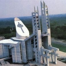
Basilica of the National Shrine of Our Lady of Coromoto
65 km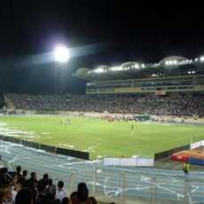
Estadio Agustín Tovar
68.3 km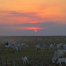
Hato El Cedral
107.6 km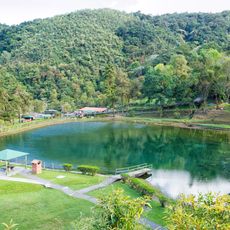
Guaramacal National Park
112.8 km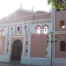
Cathedral of Our Lady of the Pillar
68.9 km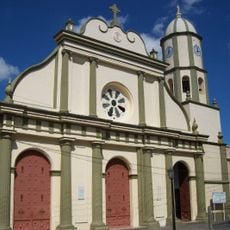
Cathedral Basilica of Our Lady of Coromoto
78.8 km
Hato El Frío
112.8 km
Unellez Botanical Garden
73 km
Museo Alberto Arvelo Torrealba
69.2 km
Pico Jabón
113.6 km
Playas del Diablo
44.3 km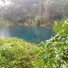
Pozo Azul
105.7 km
Teatro Orlando Araujo
69.5 km
Scenic viewpoint
105.8 km
Parque La Aparición
69.3 km
Concha Acústica
79 km
Anfiteatro
109.5 km
Granja Ecoturistica Araguaney
70.9 km
EL Mirador
105.4 km
Ruinas de la Iglesia de San Rafael
89.8 km
Scenic viewpoint
109.6 km
Mirador La Peña
110.3 km
Mirador de Santa Rita
108.6 km
El Mortero
69.1 km
Mirador del Gobernador
110.6 km
Waterfall
106.5 km
Waterfall
112.3 km
Waterfall
111.5 kmReviews
Visited this place? Tap the stars to rate it and share your experience / photos with the community! Try now! You can cancel it anytime.
Discover hidden gems everywhere you go!
From secret cafés to breathtaking viewpoints, skip the crowded tourist spots and find places that match your style. Our app makes it easy with voice search, smart filtering, route optimization, and insider tips from travelers worldwide. Download now for the complete mobile experience.

A unique approach to discovering new places❞
— Le Figaro
All the places worth exploring❞
— France Info
A tailor-made excursion in just a few clicks❞
— 20 Minutes