
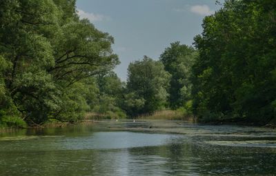
Traun-Donau-Auen, protected area of Upper Austria, Austria
Location: Linz
Inception: 2004
GPS coordinates: 48.26550,14.37145
Latest update: April 30, 2025 00:53
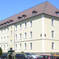
Hiller-Kaserne
3.3 km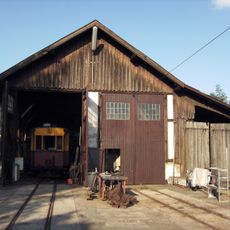
Florianerbahn
3.6 km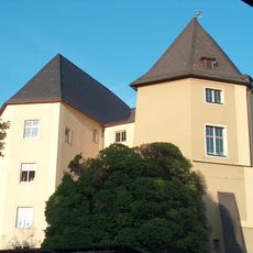
Schloss Steyregg
2.4 km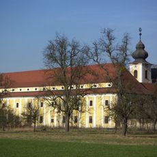
Kloster Pulgarn
2.9 km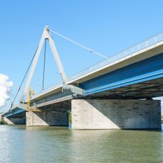
Steyregg Bridge
3.2 km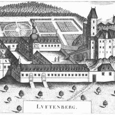
Burgruine Luftenberg
2.9 km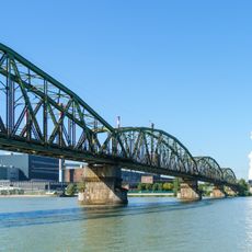
Steyregg Railway Bridge
3.1 km
Pfarrkirche Solarcity
1.2 km
Schloss Luftenberg
3 km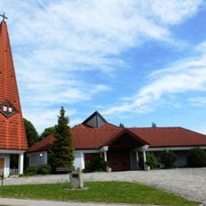
St. Paul (Pichling in Linz)
1.8 km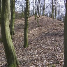
Wallburg auf dem Luftenberg
2.9 km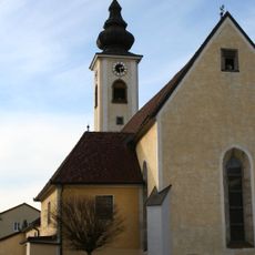
Catholic parish church St. Stephan in Steyregg
2.3 km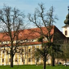
Klosterkirche Hl. Geist
2.9 km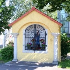
Nischen-/Kapellenbildstock
3.8 km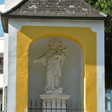
Johannes-Nepomuk-Kapelle
3.3 km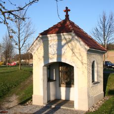
Annakapelle
3.4 km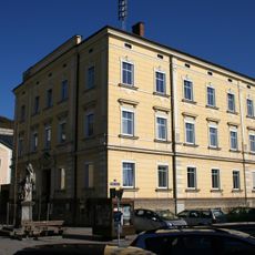
Rathaus Steyregg
2.2 km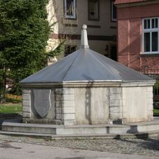
Karbrunnen
2.3 km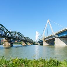
Steyregg bridges
3.1 km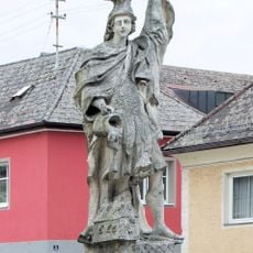
Figurenbildstock hl. Florian
2.2 km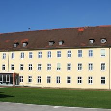
Hauptschule 23
3.4 km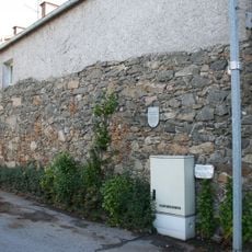
Stadtmauer bei Weissenwolffstraße
2.2 km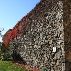
Stadtmauer Steyregg
2.3 km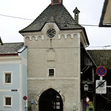
Stadtturm
2.2 km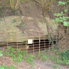
Steyregger Höhle
2.7 km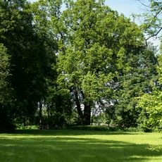
Eiche im Schlosspark Ebelsberg
3.7 km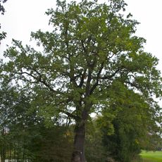
Eiche am Ortsweiher in Luftenberg
3.2 km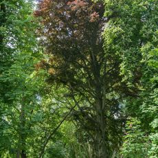
Blutbuche im Schlosspark Ebelsberg
3.7 kmReviews
Visited this place? Tap the stars to rate it and share your experience / photos with the community! Try now! You can cancel it anytime.
Discover hidden gems everywhere you go!
From secret cafés to breathtaking viewpoints, skip the crowded tourist spots and find places that match your style. Our app makes it easy with voice search, smart filtering, route optimization, and insider tips from travelers worldwide. Download now for the complete mobile experience.

A unique approach to discovering new places❞
— Le Figaro
All the places worth exploring❞
— France Info
A tailor-made excursion in just a few clicks❞
— 20 Minutes