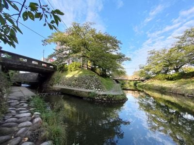
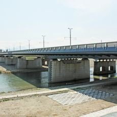
Matsu River, River in central Toyama, Japan
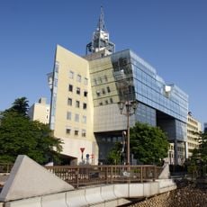
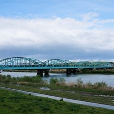
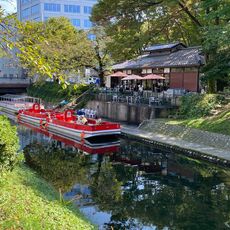
The Matsu River runs through central Toyama and connects with the Jinzu River system. It flows through the city center for several kilometers, creating a natural waterway that crosses the urban area.
During the Meiji period, urban planning redirected the main course of the Jinzu River. This realignment resulted in the formation of the Matsu River flowing through central Toyama.
The riverbanks feature artworks created by local artists from Toyama Prefecture. The right bank has been developed into a park that serves as a gathering place for residents.
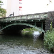
The river is best explored on foot using the walking paths and bridges along the banks. The park area on the right bank offers paved walkways and rest areas for visitors.
The river is lined with hundreds of cherry trees along its banks. These trees bloom earlier than elsewhere in Toyama because of the urban heat that accelerates their flowering cycle.
The community of curious travelers
AroundUs brings together thousands of curated places, local tips, and hidden gems, enriched daily by 60,000 contributors worldwide.