
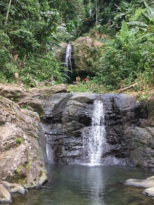
Cascada Las Delicias, Tropical waterfall in Jayuya, Puerto Rico.
Cascada Las Delicias consists of two waterfalls with a height of approximately 10 meters, flowing into a natural pool surrounded by dense vegetation.
The waterfall area has been a significant water source for local communities since the early Spanish colonial period in the mountainous region of Puerto Rico.
The waterfall stands near locations where Taino indigenous people created petroglyphs, marking their presence in the Cordillera Central mountain range.
Visitors can access the waterfall through PR-533, with parking available 300 feet east of the road bridge before a short hiking trail.
The formation includes an upper waterfall section that drops onto a rock ledge, potentially leading to an unexplored natural alcove beneath.
Location: Jayuya
Address: 6FH6+VQX, PR-533, Jayuya, Ciales 00638, Puerto Rico 00638 Jayuya
GPS coordinates: 18.22973,-66.53800
Latest update: March 3, 2025 03:50

Puerto Rico offers more than the beaches and colonial fortresses of San Juan. The island contains dozens of natural swimming pools, remote coastal sections and protected forest reserves. The northern coast holds limestone caves with pre-Columbian petroglyphs, while the southwest region includes bioluminescent bays and extensive salt flats. The interior features waterfalls cascading over volcanic rock and hiking trails through mountain canyons with native vegetation. Historic sites include 19th-century lighthouses on rocky promontories, Spanish fortifications guarding harbor entrances and archaeological sites like the indigenous ceremonial center of Tibes near Ponce. Coastal areas offer natural swimming holes separated from the sea at low tide, including Las Paylas in Luquillo and Pozo de Jacinto in Isabela. The dry coastal forests of Guánica and the wet rainforest of El Yunque show the range of the island's ecosystems. Visitors reach these locations via local roads that are often unpaved and poorly marked. Many natural pools and waterfalls require short hikes over uneven terrain. The best conditions occur during the dry season from December through April, when river flows run lower. Some locations like Reserva Natural Las Cabezas de San Juan require advance booking for guided tours, while others remain freely accessible year-round.
Cerro de Punta
8.6 km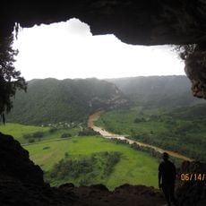
Cueva Ventana
22.7 km
Tibes Indigenous Ceremonial Center
22.7 km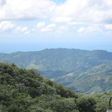
Toro Negro State Forest
10.9 km
Hacienda Buena Vista
20.3 km
Letras de Ponce
23 km
Portugués Dam
21.2 km
Museo Hacienda Buena Vista
20.3 km
Casa Fernando Luis Toro
24.7 km
Luis A. Wito Morales Park
18 km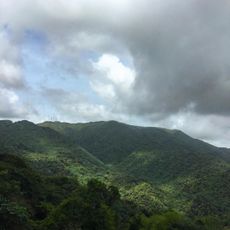
Monte Jayuya
8 km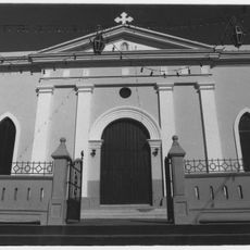
Nuestra Señora de la Candelaria y San Matías Church
22.7 km
Cambalache State Forest
24.6 km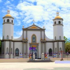
San Ramón Nonato Church
20 km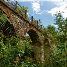
Acueducto de Ponce
24.6 km
Tres Picachos
1.7 km
Los Tres Picachos State Forest
1.7 km
Museo de Vida Silvestre
4.4 km
Manatí Bridge at Mata de Plátano
15.9 km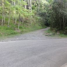
Cerro El Bolo
8.3 km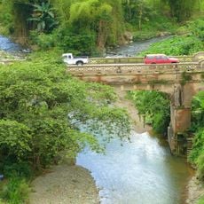
Las Cabañas Bridge
21.7 km
Casa Nemesio Canales
3.3 km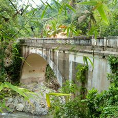
Blanco Bridge
18.9 km
Museo De Nuestros Martires
3 km
Cemis of Taino Culture Statue Museos Casa Canales y El Cemi
3.4 km
Lago Toa Vaca
15.9 km
Lago Guayabal
15.4 km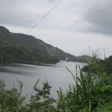
Lake Cerrillos
16.3 kmReviews
Visited this place? Tap the stars to rate it and share your experience / photos with the community! Try now! You can cancel it anytime.
Discover hidden gems everywhere you go!
From secret cafés to breathtaking viewpoints, skip the crowded tourist spots and find places that match your style. Our app makes it easy with voice search, smart filtering, route optimization, and insider tips from travelers worldwide. Download now for the complete mobile experience.

A unique approach to discovering new places❞
— Le Figaro
All the places worth exploring❞
— France Info
A tailor-made excursion in just a few clicks❞
— 20 Minutes