De-Un-Da-Ga Arbor
Location: French Creek Township
GPS coordinates: 41.46266,-80.00382
Latest update: June 8, 2025 15:07
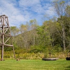
Oil Creek State Park
27.6 km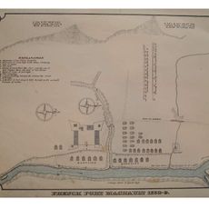
Fort Machault
17.4 km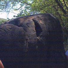
Indian God Rock
21.1 km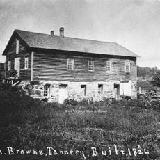
John Brown Tannery Site
28.9 km
Fort Venango
17.2 km
Maurice K. Goddard State Park
12.3 km
Erie National Wildlife Refuge
18.6 km
Baldwin-Reynolds House
24 km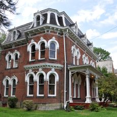
Samuel F. Dale House
15.8 km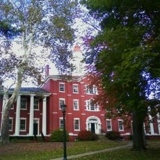
Bentley Hall
23.9 km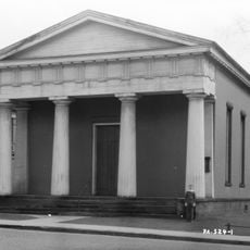
Independent Congregational Church
22.9 km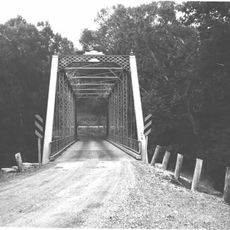
Quaker Bridge
31.1 km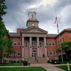
Meadville Downtown Historic District
23.1 km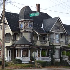
Roueche House
23.5 km
Bridge in East Fallowfield Township
28.9 km
Bridge in Oil Creek Township
31.2 km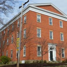
Ruter Hall
23.8 km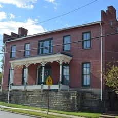
Alexander P. and James S. Waugh House
27.7 km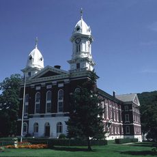
Franklin Historic District
16.4 km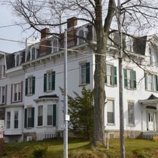
Judge Henry Shippen House
22.8 km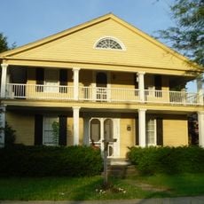
Edward Saeger House
30.9 km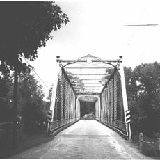
Bridge in French Creek Township
1.6 km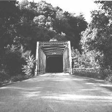
Bridge in Clinton Township
27.9 km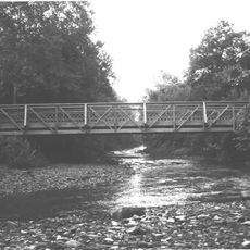
Witherup Bridge
26.8 km
Bridge over French Creek in West Mead Township
18.7 km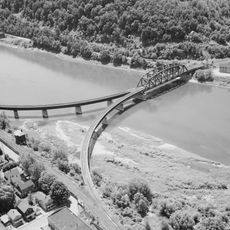
Oil City Pennsylvania Railroad Bridge
25.9 km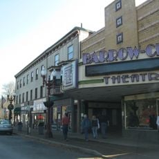
Barrow Civic Theater
16.3 km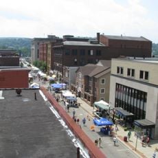
Oil City Downtown Commercial Historic District
24.8 kmReviews
Visited this place? Tap the stars to rate it and share your experience / photos with the community! Try now! You can cancel it anytime.
Discover hidden gems everywhere you go!
From secret cafés to breathtaking viewpoints, skip the crowded tourist spots and find places that match your style. Our app makes it easy with voice search, smart filtering, route optimization, and insider tips from travelers worldwide. Download now for the complete mobile experience.

A unique approach to discovering new places❞
— Le Figaro
All the places worth exploring❞
— France Info
A tailor-made excursion in just a few clicks❞
— 20 Minutes