Enable Location

We need your location to show you interesting places around you

Discover nearby places

Find interesting locations and hidden gems around you

Precise directions

Get accurate directions and distances to places

Your location is never shared with other users. It's only used when you tap the location button.

Rolas Island

Log in to your account

Start exploring — it's free

Trusted by 62,036 travelers worldwide

Continue with Google
Continue with Apple
or

We will send you a code to connect

By continuing, you accept our Terms and Conditions and our Privacy Policy

Check your inbox

We've sent a pincode in your inbox. Please enter the code below.

Rolas Island

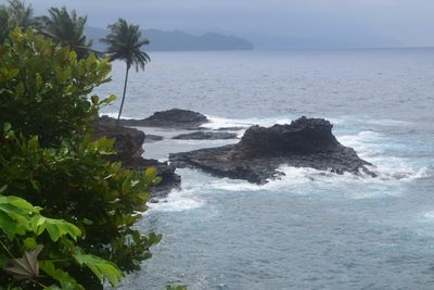
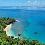
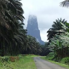
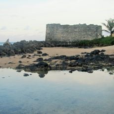
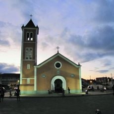
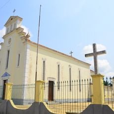
Rolas Island, Tropical island at equatorial line off São Tomé, São Tomé and Príncipe

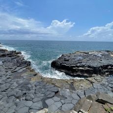
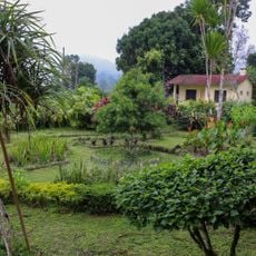
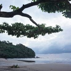
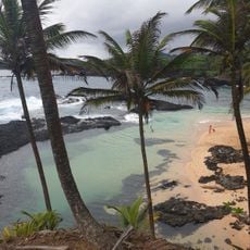
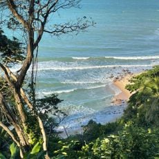
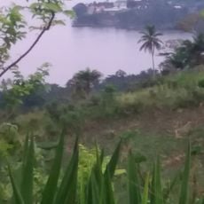
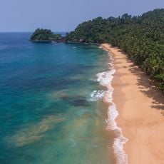
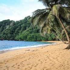
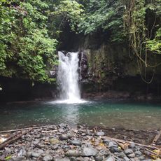
Rolas Island is a tropical island situated at the equatorial line off São Tomé, rising to approximately 96 meters in elevation. Sandy beaches surrounded by coconut palms and dense vegetation define its coastlines.

A Portuguese Navy officer named Gago Coutinho established survey marks between 1915 and 1918 to create the first geodetic network for the region. These markers document the early 20th century as a time of significant cartographic work.

The residents here practice traditional fishing and support local sea turtle conservation efforts. These activities shape daily life on the island and show how the community values marine protection.

Regular boat services from Ponta Baleia port provide access to the island with a journey of about 30 minutes. It is advisable to prepare for the humid tropical environment and bring waterproof gear along with sun protection.

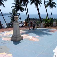
A monument marks the precise location where the equator crosses the island, creating specific shadow patterns in April and August. This astronomical phenomenon makes the spot remarkable for solar observations.

The community of curious travelers

AroundUs brings together thousands of curated places, local tips, and hidden gems, enriched daily by 60,000 contributors worldwide.

Start exploring
Address
Rolas Island, São Tomé and Príncipe
GPS coordinates
-0.00695,6.52231
Latest update
December 6, 2025 19:04
Discovering São Tomé and Príncipe

São Tomé and Príncipe is an island nation in the Gulf of Guinea with volcanic mountains, rainforests and Atlantic coastlines. The main island of São Tomé combines natural landscapes with historical traces of colonial cocoa production. Abandoned plantations, known as roças, stand among dense forests,...

Around this place
Show the full map
« Rolas Island - Tropical island at equatorial line off São Tomé, São Tomé and Príncipe » is provided by Around Us (aroundus.com). Images and texts are derived from Wikimedia project under a Creative Commons license. You are allowed to copy, distribute, and modify copies of this page, under the conditions set by the license, as long as this note is clearly visible.

Discover hidden gems everywhere you go!

From secret cafés to breathtaking viewpoints, skip the crowded tourist spots and find places that match your style. Our app makes it easy with voice search, smart filtering, route optimization, and insider tips from travelers worldwide. Download now for the complete mobile experience.

Around Us App Screenshot

A unique approach to discovering new places

Le Figaro

All the places worth exploring

France Info

A tailor-made excursion in just a few clicks

20 Minutes

Around Us
Travel Guide & Maps
Download

Send to your phone

QR Code
1

Open the camera app on your mobile.

2

Point at the QR code with your camera. A notification will appear.

3

Tap the notification to open the link.