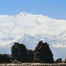
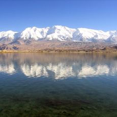
Qarokul, Mountain lake in Pamir Mountains, Tajikistan
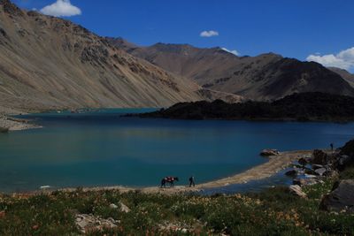
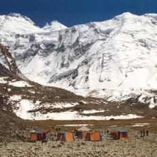
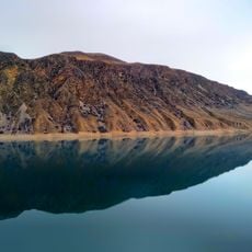
Qarokul is a mountain lake in the Pamir Mountains situated at an elevation of about 3,960 meters. It spans roughly 25 kilometers across two distinct basins separated by a peninsula extending from the southern shore.
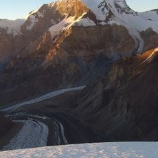
The basin formed roughly 23 to 25 million years ago following a meteorite impact. Scientists discovered this origin in 1987 through satellite imagery analysis.
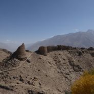
The Kyrgyz people living near the lake practice traditional sheep and yak herding, which has adapted to the extreme mountain environment. Their way of life reflects generations of knowledge about surviving in this high-altitude region.
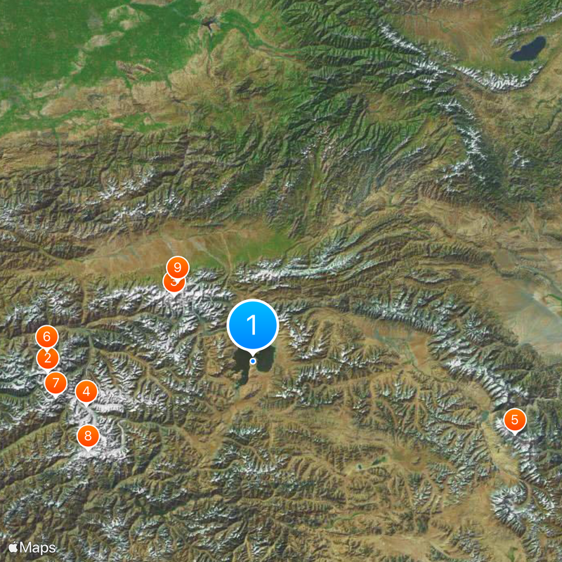
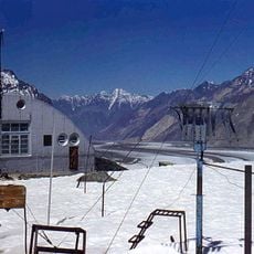
The lake is reachable via routes from the town of Aqtash, with transport services available during warmer months. Roads stay clearer of snow during this period, making the journey more manageable.
The water is salty and has no outlet streams, despite reaching depths of up to 230 meters. This isolated body of water creates an ecosystem completely cut off from external water sources.
Location: Ноҳияи Мурғоб
Address: Karakul Lake, Tajikistan
GPS coordinates: 38.99876,73.41405
Latest update: December 20, 2025 12:48
Tajikistan is a land of dramatic contrasts shaped by towering mountains and deep river valleys. The country sits at the crossroads of Central Asia, where ancient trade routes once connected empires and cultures. Today, visitors find themselves in a landscape dominated by peaks that reach beyond 5000...
Ismoil Somoni Peak
121.2 km
Lenin Peak
60.3 km
Fedchenko Glacier
101.3 km
Kongur Tiube
160.3 km
Peak Korzhenevskaya
121.4 km
Pik Garmo
118.1 km
Tajik National Park
110.6 kmLenin glacier
64.4 km
Papan Reservoir
158.2 km
Rangkul valley
106.3 km
Abshir Ata Waterfall
157.9 km
Korzhenevsky Glacier
56.6 km
Dzerzhinsky Peak
66.8 km
Lednik Achyk-Suu
93.7 km
Lednik Atdzhaylo
49.5 km
Rodnik Chogaden
152.5 km
Rodnik Ak-Bulak (tubud sa Kirgistan)
147.6 km
Rodnik Chirik-Dzhon
156.4 km
Rodnik Kur-Bulak
89.1 km
Rodnik Chong-Tash-Tër
120.4 km
Rodnik Kyrchyn
105.6 km
Rodnik Aygyr-Bulak
108.7 km
Rodniki Kyzyl-Bulak
96.4 km
Rodnik Uzuk-Dzhylga
160.9 km
Rodnik Ak-Terek
148.1 km
Rodnik Tokmak-Bulak
112.6 km
Rodnik Shor-Bulak (tubud sa Kirgistan, Osh Oblasty, lat 39,48, long 72,27)
112.4 km
Rodnik Dam-Bulak
160.3 kmVisited this place? Tap the stars to rate it and share your experience / photos with the community! Try now! You can cancel it anytime.
Discover hidden gems everywhere you go!
From secret cafés to breathtaking viewpoints, skip the crowded tourist spots and find places that match your style. Our app makes it easy with voice search, smart filtering, route optimization, and insider tips from travelers worldwide. Download now for the complete mobile experience.
A unique approach to discovering new places❞
— Le Figaro
All the places worth exploring❞
— France Info
A tailor-made excursion in just a few clicks❞
— 20 Minutes