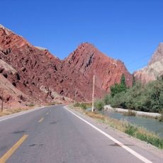
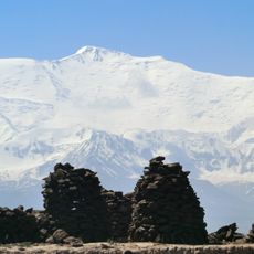
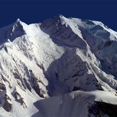
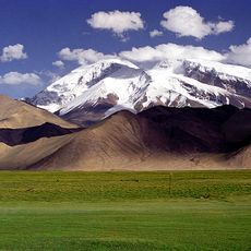
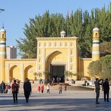
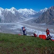
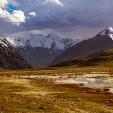
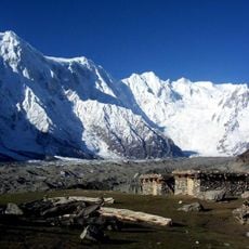
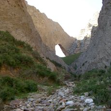
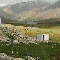
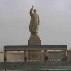
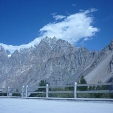
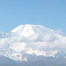
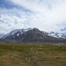
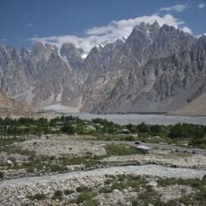
Kongur Tiube, Mountain peak in Subax, China.
Kongur Tiube is a 7530 m mountain in the Kongur Shan massif of the Pamir, in Kizilsu Kyrgyz Autonomous Prefecture, Xinjiang, China. It lies 10.52 km west-northwest of Kongur, joined to it by a ridge, with the 6720 m Kongur Pass between the two summits. Karakol Lake, on the Karakoram Highway, lies 20 km to the southwest.
Kongur Tiube was first climbed on 16 August 1956 by a Soviet-Chinese expedition led by Yevgeny Beletsky. The 7530 m summit lies 10.52 km west-northwest of Kongur, joined to it by a ridge crossed by the 6720 m Kongur Pass. The mountain stands in the Kongur Shan massif of the Pamir, in Kizilsu Kyrgyz Autonomous Prefecture, Xinjiang.
The name comes from the Russian "Kongur-Tyube", transliterated from Uyghur or Kyrgyz; "Kongur" means dun or brown in Uyghur, and in Mongolian refers to the yellow of a chestnut horse's mane. Wald instead derives it from the Kyrgyz word for bell, K̂ongĝuroo. Because it is lower than Kongur, it is also called "Little Kongur".
The mountain lies in Subax village, Bulungkol township, Akto County, Kizilsu Kyrgyz Autonomous Prefecture, about 10.5 km west-northwest of Kongur, joined to it by a ridge with the 6720 m Kongur Pass between. The Karakol Lake on the Karakoram Highway is 20 km to the southwest. Approach from the highway side and allow time to acclimatise before climbing.
The name "Kongur Jiubie" comes from a Russian rendering of the Uyghur or Kyrgyz name, with Russian transliterating ö and ä as jo and je. "Kongur" means dun-brown in Uyghur and yellowish horse-mane in Mongolian; Wald instead derives it from the Kyrgyz word for bell, K̂ongĝuroo.
The community of curious travelers
AroundUs brings together thousands of curated places, local tips, and hidden gems, enriched daily by 93,819 contributors worldwide.